


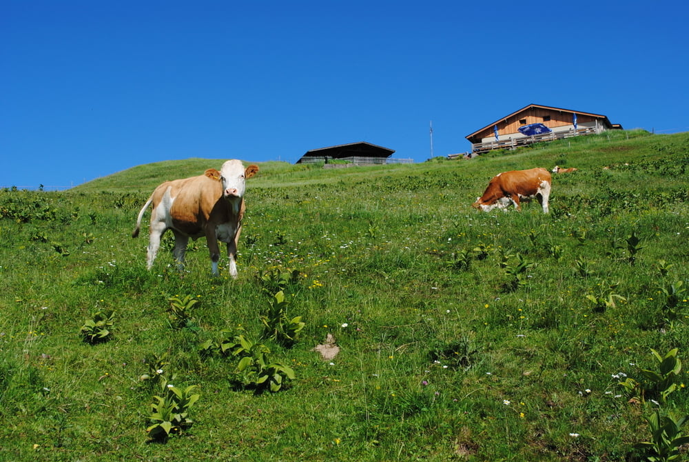
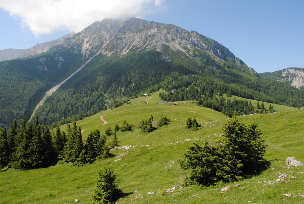
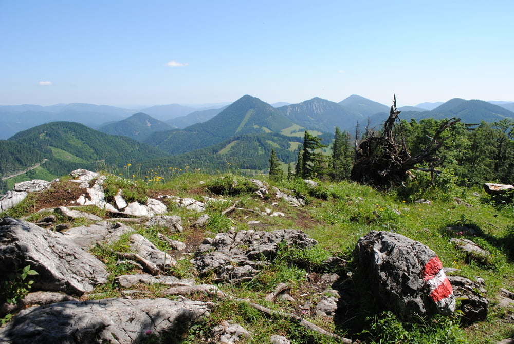
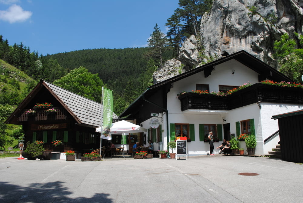
Parkplatz Sessellift Losenheim.(Leider nur Samstag Sonntag und Feiertag in Betrieb) und Aufstieg zum Almröserlhaus.Weiter über die Dürre Leiten (herrliche Rückblicke auf den Schneeberg)bis zur Mamauwiese(GH. leider geschlossen).Abzweigung Richtung Sebastian Wasserfall und Wanderung (die letzten 300m ziemlich ausgesetzt,daher Vorsicht mit Kindern) bis zum Wasserfallwirt.Sehr gute Küche und dann der lange Weg zurück nach Losenheim.
Tour gallery
Tour map and elevation profile
Minimum height 707 m
Maximum height 1252 m
More about the tour author
|
|
LeoCheops |
Comments

GPS tracks
Trackpoints-
GPX / Garmin Map Source (gpx) download
-
TCX / Garmin Training Center® (tcx) download
-
CRS / Garmin Training Center® (crs) download
-
Google Earth (kml) download
-
G7ToWin (g7t) download
-
TTQV (trk) download
-
Overlay (ovl) download
-
Fugawi (txt) download
-
Kompass (DAV) Track (tk) download
-
Track data sheet (pdf) download
-
Original file of the author (gpx) download
More about the tour author
|
|
LeoCheops |
Add to my favorites
Remove from my favorites
Edit tags
Open track
My score
Rate