Login

Forgot your login?

Cookies have to be accepted!
Your browser's cookie functionality is disabled. Please enable this functionality.

Not a member yet?

Register now
Login

Available for registred users only

Log in to use this feature.

Forgot your login?

Cookies have to be accepted!
Your browser's cookie functionality is disabled. Please enable this functionality.

Not a member yet?

Register now
Filter
Categories
Advanced filters
  • Distance (km)
  • Height
Save filters Reset filter

TrackRank

QRCode

Technical data

Distance42,3 km Height2254 m Way down2214 m Duration04:30 h:m Date30.06.2016
Scores Author Landscape Fun factor Fitness Technique

Statistics

999 Views 1 Score 164 Downloads 5.00 Average
Rate
  • Track data sheet
  • Directions
  • Downloads

Podrošt-Podporezen-Petrovo Brdo-Kup-Lajnar-Slatnik-Možic-Pod Šavnikom-Vrh Bače-Jelenov vrh-Bohinjsko sedlo- Soriška planina-Danjarska planina-Spodnje Danje-Zgornje Danje-Zabrdo-Torka-Podrošt


Further information at
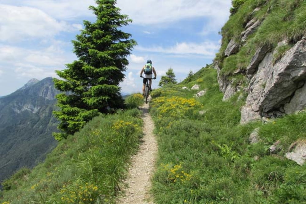
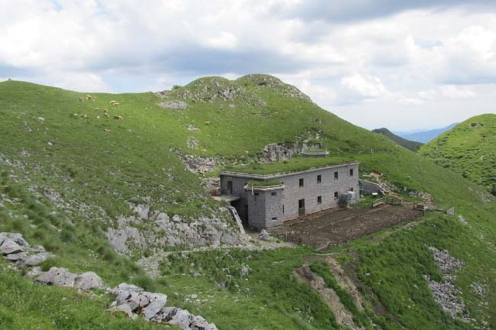
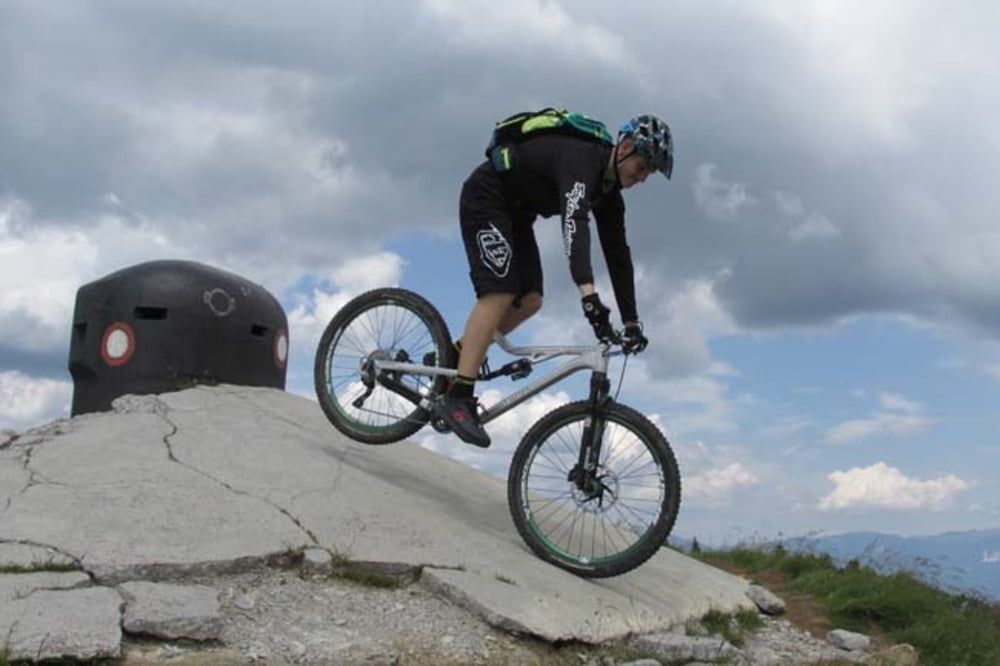
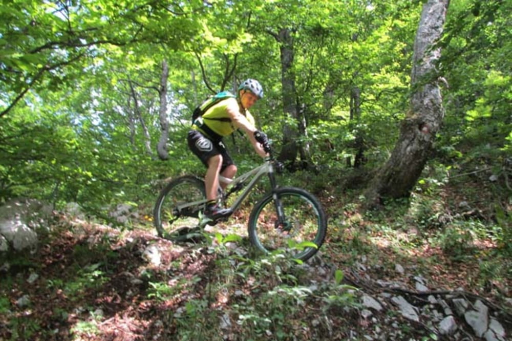
https://mtb-itd.si/poti/mozic

Tour gallery

Tour map and elevation profile

  • Open Street Map
  • Google
Minimum height 546 m Maximum height 1623 m Detailed view

More about the tour author

andrejno
Member since 2012

Send private message

Comments

GPS tracks

Trackpoints
  • GPX / Garmin Map Source (gpx) download
  • TCX / Garmin Training Center® (tcx) download
  • CRS / Garmin Training Center® (crs) download
  • Google Earth (kml) download
  • G7ToWin (g7t) download
  • TTQV (trk) download
  • Overlay (ovl) download
  • Fugawi (txt) download
  • Kompass (DAV) Track (tk) download
  • Track data sheet (pdf) download
  • Original file of the author (gpx) download

More about the tour author

andrejno
Member since 2012

Send private message
Share track
Add to my favorites
Remove from my favorites
Edit tags
My score
Rate
Track: Možic
Type: Mountain bike
Distance: 42,3 km
Evaluated on:
Duration:
Day(s)
Hour(s)
Minute(s)
Score: Landscape Fun factor Fitness Technique