Login

Forgot your login?

Cookies have to be accepted!
Your browser's cookie functionality is disabled. Please enable this functionality.

Not a member yet?

Register now
Login

Available for registred users only

Log in to use this feature.

Forgot your login?

Cookies have to be accepted!
Your browser's cookie functionality is disabled. Please enable this functionality.

Not a member yet?

Register now
Filter
Categories
Advanced filters
  • Distance (km)
  • Height
Save filters Reset filter

TrackRank

QRCode

Technical data

Distance41,9 km Height1379 m Way down1434 m Duration04:00 h:m Date28.07.2016
Scores Author Landscape Fun factor Fitness Technique

Statistics

189 Views Scores 25 Downloads Average
Rate
  • Track data sheet
  • Directions
  • Downloads
Der Autor weist besonders darauf hin, dass sämtliche Touren auf manchen Teilen einem Fahrverbot unterliegen können. Auf diesen Teilen ist das Rad bzw. Mountainbike zu schieben. Jegliche Haftung für den Autor ist ausgeschlossen.
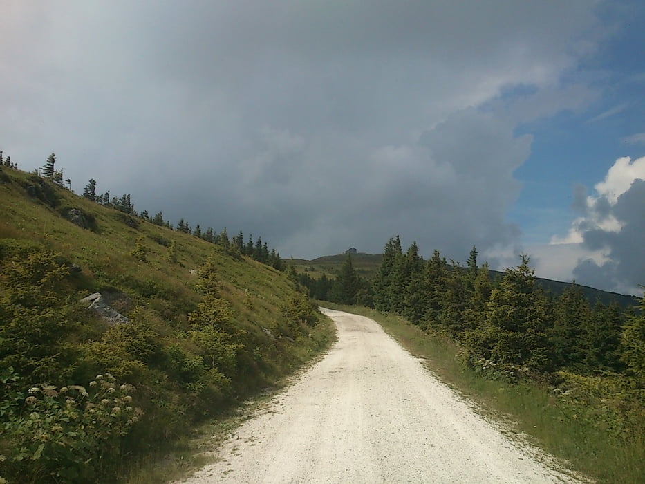
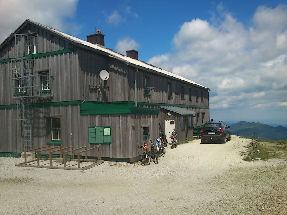
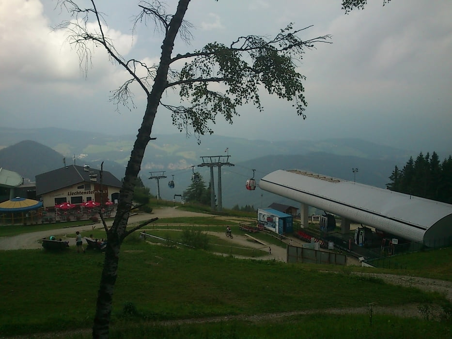
Tour gallery

Tour map and elevation profile

  • Open Street Map
  • Google
Minimum height 772 m Maximum height 1781 m Detailed view

More about the tour author

seppwimmer
Member since 2011

Send private message

Comments

GPS tracks

Trackpoints
  • GPX / Garmin Map Source (gpx) download
  • TCX / Garmin Training Center® (tcx) download
  • CRS / Garmin Training Center® (crs) download
  • Google Earth (kml) download
  • G7ToWin (g7t) download
  • TTQV (trk) download
  • Overlay (ovl) download
  • Fugawi (txt) download
  • Kompass (DAV) Track (tk) download
  • Track data sheet (pdf) download
  • Original file of the author (gpx) download

More about the tour author

seppwimmer
Member since 2011

Send private message
Share track
Add to my favorites
Remove from my favorites
Edit tags
My score
Rate
Track: Stuhleck und Hirschenkogel von Steinhaus am Semmering
Type: Mountain bike
Distance: 41,9 km
Evaluated on:
Duration:
Day(s)
Hour(s)
Minute(s)
Score: Landscape Fun factor Fitness Technique