


St. Kassian-Capanna Alpina-Fanes-Rif. Pederù-
St. Vigil (Al Plan)-Kreuzjoch-Pragser Wildsee-Prags-
Niederdorf-Innichen
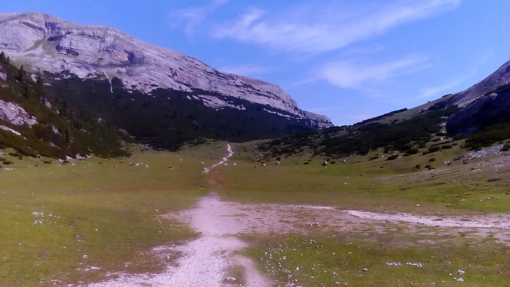
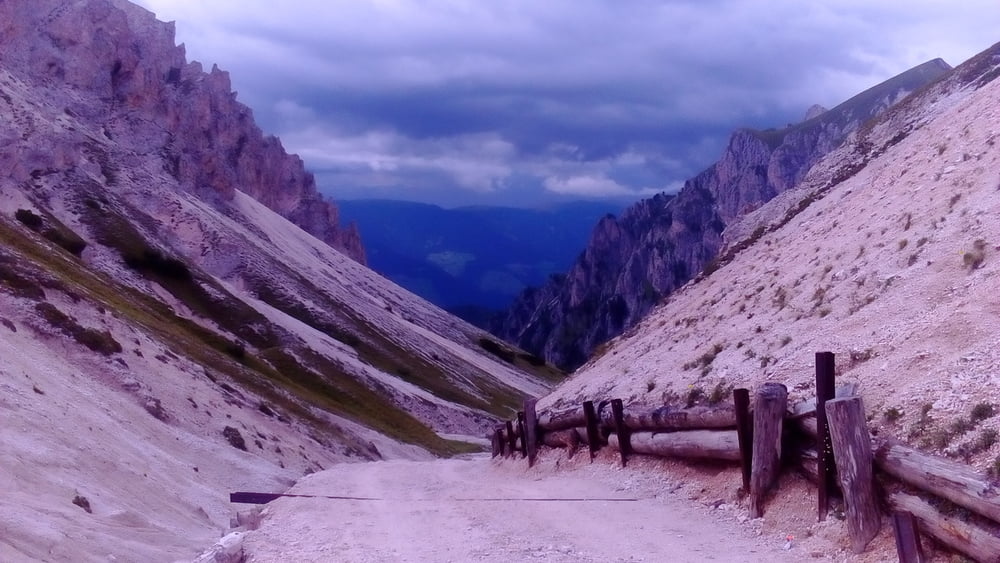
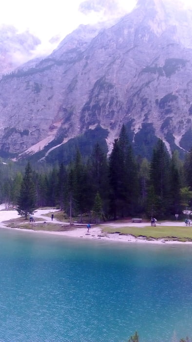
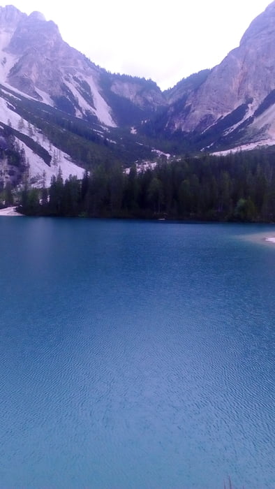
Herrliche Fanes! Allerdings 300hm harter Anstieg: Schieben und tragen. Oben wieder viele Fotosessions. Von Pederù rasch die Straße runter (es gäbe auch offizielle MTB Wegerl), ca 10km. Von St. Vigil Auffahrt zum Kreuzjoch sehr steil und zum Teil tiefer Schotter, teils geschoben. Erst weit oben Wasser gefunden. Abfahrt bis zur Ütia Fojadora gut, dann ein Steig (S3-4) für mich nicht fahrbar, ca 1/2 Stunde. Rausgekommen beim Pragser Wildsee - ein echtes Kleinod! Da es wieder regenete (den ganzen Nachmittag on-off), waren relativ wenige Touristen anzutreffen. (Erfolgreiche italienische Serie wird hier gedreht). Zum Abschluss auf Radweg nach Innichen.
Tour gallery
Tour map and elevation profile
Minimum height 1189 m
Maximum height 2285 m
More about the tour author
|
|
mitter |
Comments

Start in St. Kassian beim Albergo Cime bianche.
GPS tracks
Trackpoints-
GPX / Garmin Map Source (gpx) download
-
TCX / Garmin Training Center® (tcx) download
-
CRS / Garmin Training Center® (crs) download
-
Google Earth (kml) download
-
G7ToWin (g7t) download
-
TTQV (trk) download
-
Overlay (ovl) download
-
Fugawi (txt) download
-
Kompass (DAV) Track (tk) download
-
Track data sheet (pdf) download
-
Original file of the author (gpx) download
More about the tour author
|
|
mitter |
Add to my favorites
Remove from my favorites
Edit tags
Open track
My score
Rate