
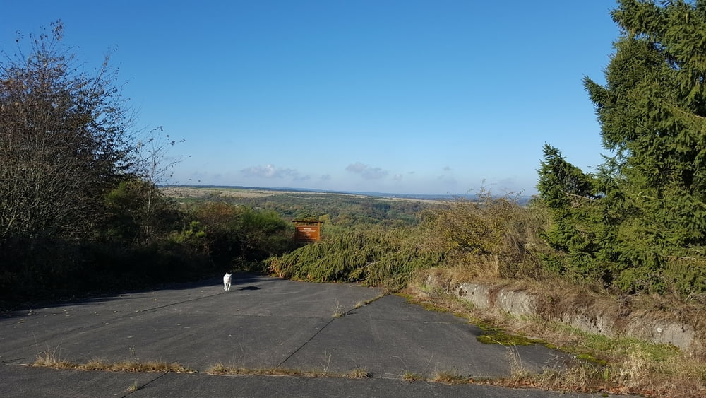

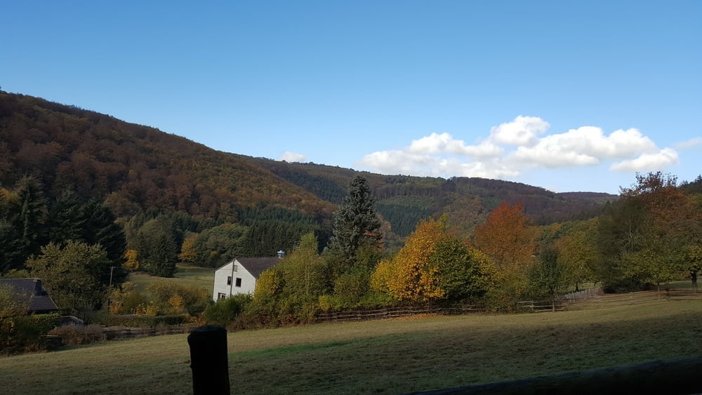
Die Tour stammt aus dem Wanderführer Tippeltouren 11. Es geht von Dreiborn durch den Nationalpark Eifel und durch ehemaliges militärisches Sprerrgebiert. Der alte Truppenübungsplatz lässt teilweise erahnen, was dort vor sich gegangen ist.
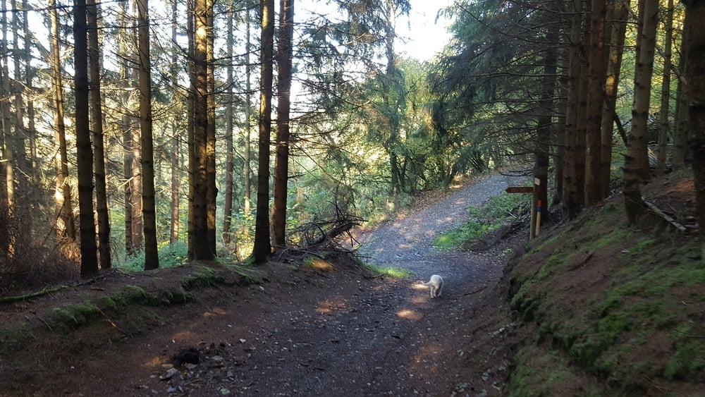
Der Abstieg ins Tal nach Hirschrott ist nicht so wild und führt über serpentinenähnliche Wege hinab. Der Aufstieg wiederum kann etwas Kondition erfordern, oben angekommen gibt es aber die ein aoder andere Bank um sich auszuruhen.
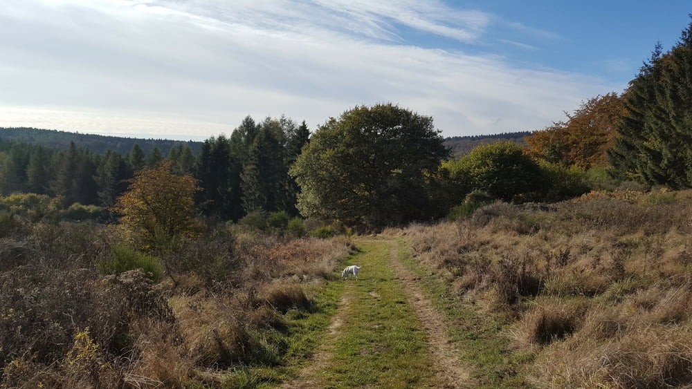
Zurück geht es dann wieder über die weite Fläche des Nationalparks, bis man wieder auf die alte Panzerstrasse stößt.
Tour gallery
Tour map and elevation profile
Minimum height 99999 m
Maximum height -99999 m
More about the tour author

|
TobyDean |
Comments

Wanderparkplatz befindet sich in Dreiborn, Schleiden. Die Strasse heißt Holter. Der Parkplatz ist kein typischer Wanderparkplatz, zwar als solcher markiert, aber eigentlich sind es normale Parktaschen an der Strasse.
In der graphischen Karte ist der Punkt leider falsch markiert. Richtig ist Holter in Dreiborn. Vom Dorf kommend fährt man an einem Indutriegebäude vorbei. Einige Meter auf der linken Seite befinden sich die Parktaschen.
GPS tracks
Trackpoints-
GPX / Garmin Map Source (gpx) download
-
TCX / Garmin Training Center® (tcx) download
-
CRS / Garmin Training Center® (crs) download
-
Google Earth (kml) download
-
G7ToWin (g7t) download
-
TTQV (trk) download
-
Overlay (ovl) download
-
Fugawi (txt) download
-
Kompass (DAV) Track (tk) download
-
Track data sheet (pdf) download
-
Original file of the author (gpx) download
More about the tour author
|
|
TobyDean |
Add to my favorites
Remove from my favorites
Edit tags
Open track
My score
Rate