


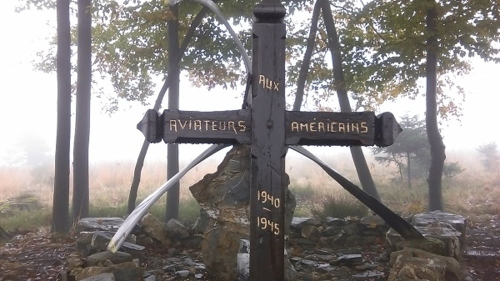
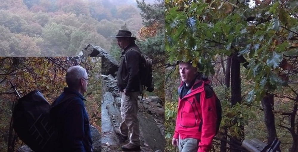
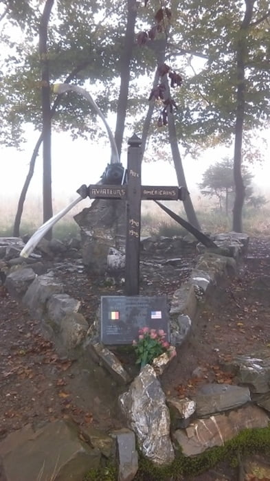
Eine Tageswanderung durch das Hohe Venn in Ostbelgien.Die Wanderung ging teilweise durch unwegsames Gelände da es eine Wanderung auf den alten Pfaden der Venngeister war.Ich muss sagen,es war fantastig die Venngeister bei Nebel und Moorast zu suchen und nicht zu finden.
Further information at
http://www.zuraltenschmiede.beTour gallery
Tour map and elevation profile
Minimum height 355 m
Maximum height 612 m
More about the tour author
|
|
Wanderfrosch1960 |
Comments

GPS tracks
Trackpoints-
GPX / Garmin Map Source (gpx) download
-
TCX / Garmin Training Center® (tcx) download
-
CRS / Garmin Training Center® (crs) download
-
Google Earth (kml) download
-
G7ToWin (g7t) download
-
TTQV (trk) download
-
Overlay (ovl) download
-
Fugawi (txt) download
-
Kompass (DAV) Track (tk) download
-
Track data sheet (pdf) download
-
Original file of the author (gpx) download
More about the tour author
|
|
Wanderfrosch1960 |
Add to my favorites
Remove from my favorites
Edit tags
Open track
My score
Rate