

Liebe Biker
Hier nun die Schlussetappe meiner Rundreise durchs Bergische.
Diese Etappe ist wieder eine Rundstrecke und meiner Meinung nach nur zu empfehlen. Ich werde 2017 nocheinmal den Panoramasteig fahren mit dem wissen von heute was die Unterkünfte angeht. Dann schaffe ich Ihn vielleicht ohne Unterbrechung...
Durch meine ständigen Re-starts und sonstigen Unterbrechungen kamen mit einigen kleinen Trainingstouren seid dem Beginn über 400 km zusammen... aber keine Angst. wenn alles glatt läuft kommt man mit knapp 230 km durch....
Planung ist halt das halbe leben-
Viel Spaß beim nachfahren
Glück Auf !!!
Further information at
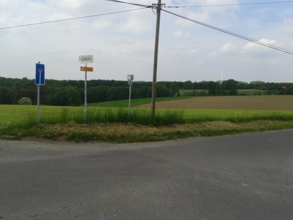
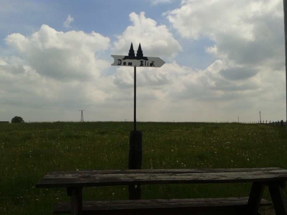
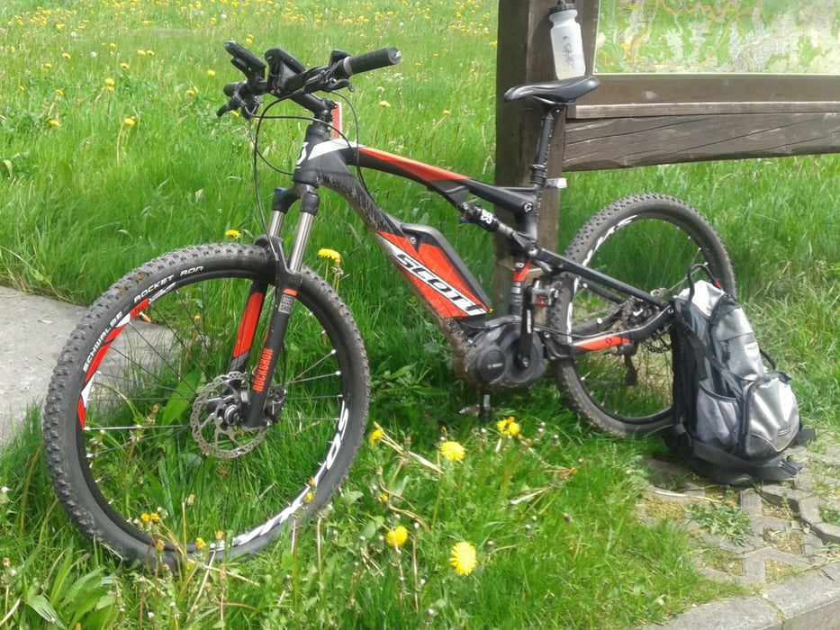
http://www.ferienwohnung-in-wipperfuerth.deTour gallery

Tour map and elevation profile
Minimum height 135 m
Maximum height 373 m
More about the tour author
|
|
S04Charly |
Comments

GPS tracks
Trackpoints-
GPX / Garmin Map Source (gpx) download
-
TCX / Garmin Training Center® (tcx) download
-
CRS / Garmin Training Center® (crs) download
-
Google Earth (kml) download
-
G7ToWin (g7t) download
-
TTQV (trk) download
-
Overlay (ovl) download
-
Fugawi (txt) download
-
Kompass (DAV) Track (tk) download
-
Track data sheet (pdf) download
-
Original file of the author (gpx) download
More about the tour author
|
|
S04Charly |
Add to my favorites
Remove from my favorites
Edit tags
Open track
My score
Rate