


Start der Tour ist beim alten Sportplatz in Ebreichsdorf.
Die Tour verläuft über Feld.- und Radwege durch Trumau und Traiskirchen nach Gumpoldskirchen.
Ab Gumpoldskirchen geht es über den Wasserleitungsweg nach Mödling, wo man über die Preißnitzgasse bis zum Startpunkt der Anningerstrecke gelangt.
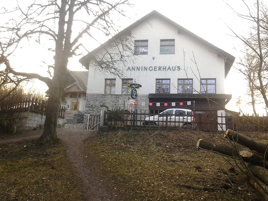
Die Anningerstrecke verläuft vorbei an der "Breiten Föhre" und "Krauste Linde" zum Anninger Schutzhaus.
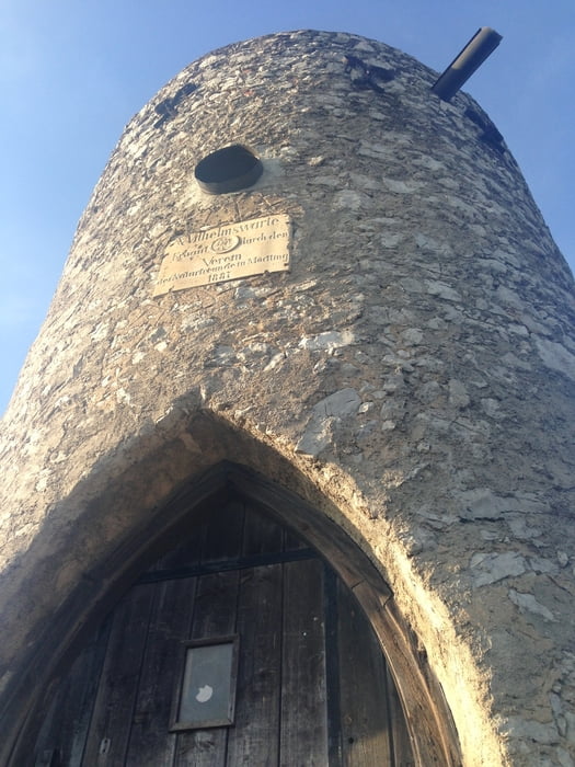
Kurz nach dem Schutzhaus geht es über Wanderwege zur Wilhelmswarte und wieder hinunter nach Gumpoldskirchen.
Bis auf das letzte Stück durch Ebreichsdorf verläuft der Rückweg auf der selben Strecke wie der Hinweg.
Further information at
http://www.kraustelinde.net/Tour gallery
Tour map and elevation profile
Minimum height 187 m
Maximum height 668 m
More about the tour author
|
|
kersti |
Comments

Parkmöglichkeit beim alten Sportplatz Ebreichsdorf
GPS tracks
Trackpoints-
GPX / Garmin Map Source (gpx) download
-
TCX / Garmin Training Center® (tcx) download
-
CRS / Garmin Training Center® (crs) download
-
Google Earth (kml) download
-
G7ToWin (g7t) download
-
TTQV (trk) download
-
Overlay (ovl) download
-
Fugawi (txt) download
-
Kompass (DAV) Track (tk) download
-
Track data sheet (pdf) download
-
Original file of the author (gpx) download
More about the tour author
|
|
kersti |
Add to my favorites
Remove from my favorites
Edit tags
Open track
My score
Rate