


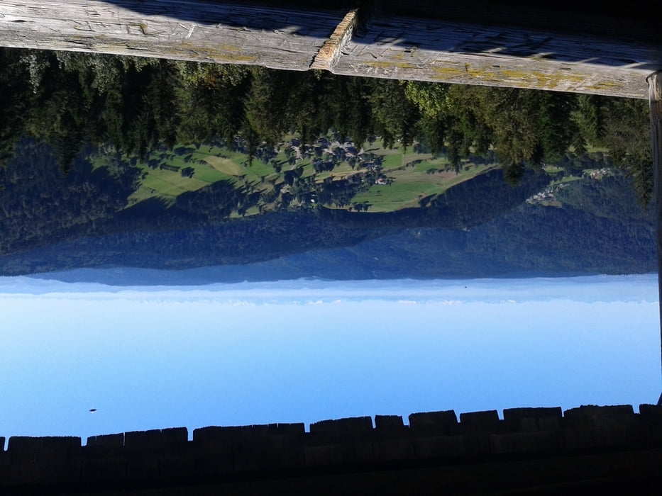
Die kurze Tour ist bei schön Wetter und guter Fernsicht allemal lohnenswert.
Leider kommt dies auf den Handy Bildern nicht so toll.
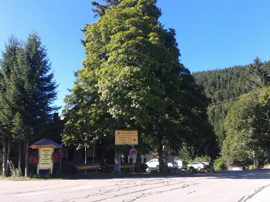
Einkehrmöglichkeit im Hochkopfhaus.
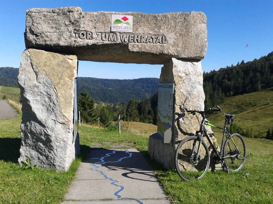
Start ist in Todtmoos eigentlich bei der Tourist Info. Ich startete allerdings weiter oben vom Parkplatz der Wehrawald Klinik.
Also von der Tourist Info über die Schwarzenbacher Str, Richtung Klinik. Von da aus auf dem Weiherweg Richtung Schwarzenbach. Oben auf dem Asphaltweg links und nach dem Schwyzer Hof rechts in den Oberen Schwarzenbacher Weg einbiegen. An Umrankhütte und St. Antoni Hütte vorbei, und am St. Antoni Sattel die Straße überqueren weiter zum Weissenbacher Sattel und Hochkopf Haus.
Von dort aus den auf den Forstwegen nach der Beschilderung zum Hochkopf.
Was euch dort oben vom Turm aus erwartet ist einfach nur eine atemberaubende Aussicht auf:
Feldberg, Belchen usw…. und vor Allem die schweizer Hochalpen.
Tour gallery
Tour map and elevation profile
Minimum height 811 m
Maximum height 1242 m
More about the tour author
|
|
Digger67 |
Comments

GPS tracks
Trackpoints-
GPX / Garmin Map Source (gpx) download
-
TCX / Garmin Training Center® (tcx) download
-
CRS / Garmin Training Center® (crs) download
-
Google Earth (kml) download
-
G7ToWin (g7t) download
-
TTQV (trk) download
-
Overlay (ovl) download
-
Fugawi (txt) download
-
Kompass (DAV) Track (tk) download
-
Track data sheet (pdf) download
-
Original file of the author (gpx) download
More about the tour author
|
|
Digger67 |
Add to my favorites
Remove from my favorites
Edit tags
Open track
My score
Rate