


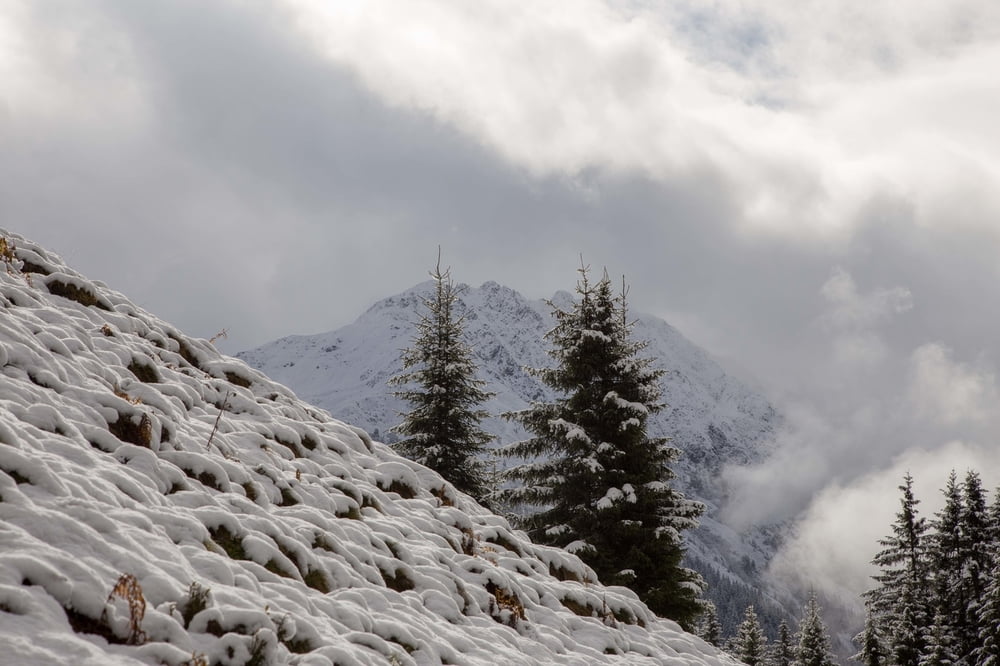
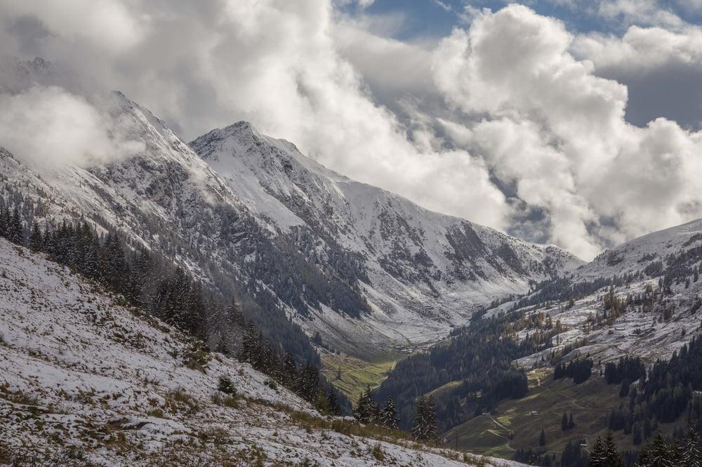
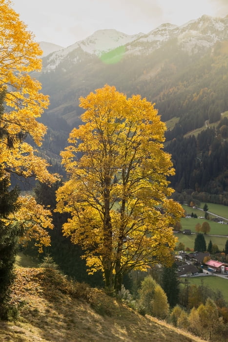
Start der Wanderung auf den Schwarzkogel ist oberhalb von Aschau. Entlang der Oberen Grund Ache führt der Weg auf einer Forststraße bis zur Kloo-Nideralm. Auf einem Pfad gelangt der Wanderer zur Stadlbergalm und weiter ins Joch unterhalb des Gipfels. Auf direktem Weg führt der Weg vom Joch auf den Schwarzkogel. Am Gipfel bietet sich ein traumhaftes Panorama auf die Kitzbüheler Alpen. Der Abstieg erfolgt über den Adlerweg zurück nach Aschau.
Further information at
http://www.best-mountain-artists.de/2016/12/bergtour-schwarzkogel-aschau.htmlTour gallery


Tour map and elevation profile
Minimum height 99999 m
Maximum height -99999 m
More about the tour author
|
|
BestMountainArtists |
Comments

Adresse fürs Navi: Oberer Grund, 6365 Kirchberg in Tirol, Österreich
Kostenfreie Parkmöglichkeiten am Eingang des Oberen Grunds.
GPS tracks
Trackpoints-
GPX / Garmin Map Source (gpx) download
-
TCX / Garmin Training Center® (tcx) download
-
CRS / Garmin Training Center® (crs) download
-
Google Earth (kml) download
-
G7ToWin (g7t) download
-
TTQV (trk) download
-
Overlay (ovl) download
-
Fugawi (txt) download
-
Kompass (DAV) Track (tk) download
-
Track data sheet (pdf) download
-
Original file of the author (gpx) download
More about the tour author
|
|
BestMountainArtists |
Add to my favorites
Remove from my favorites
Edit tags
Open track
My score
Rate