


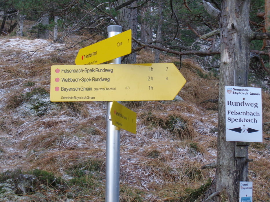
Vom Wanderzentrum in der Alpentalstraße zuerst Richtung Dreisesselberg auf dem Michl-Toni-Steig. Wo der Steig nach rechts zum Dreisesselberg abzweigt, geradeaus weiter und leicht fallend zum Lattenbergstoa mit Gipfelkreuz.
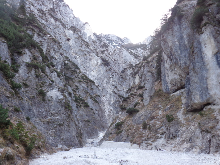
Zurück zur Kreuzung und links hinunter zum Speikbachgraben. Bei der Querung des Baches kann man noch ein Stück den Graben hineinwandern. Zurück und entlang des Baches, bis rechts der Steig hinauf zum Freimahder Kopf weist. Immer am Rücken zum höchsten Punkt mit Sitzbank.
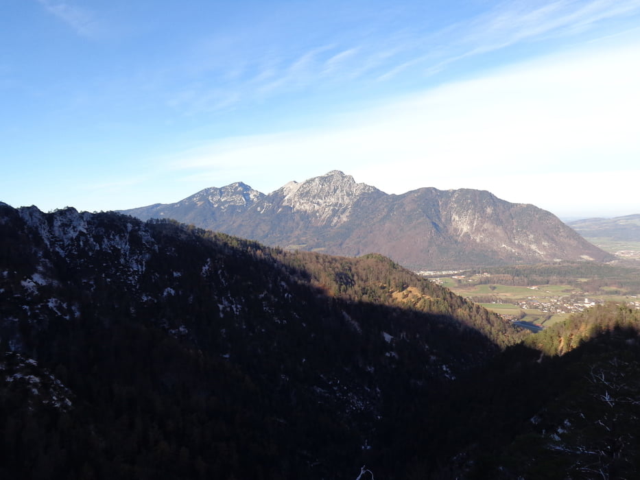
Den Weg zurück zum Absatz und weiter am Rücken, zuletzt steil neben der Löwenschlucht zur Forststraße. Parallel der Bahngleise zurück zum Ausgangspunkt.
Tour gallery
Tour map and elevation profile
Minimum height 551 m
Maximum height 1154 m
More about the tour author

|
JoHangler |
Comments

In Bayerisch Gmain den Wegweisern zum Wanderzentrum Bergkurkarten in der Alpentalstraße folgen.
GPS tracks
Trackpoints-
GPX / Garmin Map Source (gpx) download
-
TCX / Garmin Training Center® (tcx) download
-
CRS / Garmin Training Center® (crs) download
-
Google Earth (kml) download
-
G7ToWin (g7t) download
-
TTQV (trk) download
-
Overlay (ovl) download
-
Fugawi (txt) download
-
Kompass (DAV) Track (tk) download
-
Track data sheet (pdf) download
-
Original file of the author (gpx) download
More about the tour author
|
|
JoHangler |
Add to my favorites
Remove from my favorites
Edit tags
Open track
My score
Rate