Login

Forgot your login?

Cookies have to be accepted!
Your browser's cookie functionality is disabled. Please enable this functionality.

Not a member yet?

Register now
Login

Available for registred users only

Log in to use this feature.

Forgot your login?

Cookies have to be accepted!
Your browser's cookie functionality is disabled. Please enable this functionality.

Not a member yet?

Register now
Filter
Categories
Advanced filters
  • Distance (km)
  • Height
Save filters Reset filter

TrackRank

QRCode

Technical data

Distance8,9 km Height151 m Way down128 m Duration03:15 h:m Date16.01.2017
Scores Author Landscape Fun factor Fitness Technique

Statistics

240 Views Scores 20 Downloads Average
Rate
  • Track data sheet
  • Directions
  • Downloads

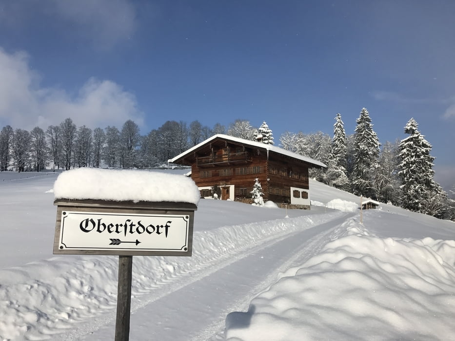
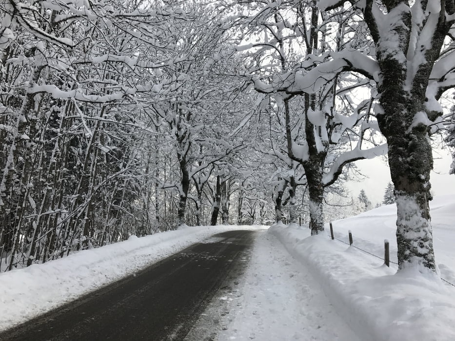
Eine schöne Winterwanderung über den Moorweiher ins Trettachtal mit einigen schönen Ausblicken!


Infos unter: Oberstdorf.de

Tour gallery

Tour map and elevation profile

  • Open Street Map
  • Google
Minimum height 796 m Maximum height 908 m Detailed view

More about the tour author

buggi
Member since 2008

Send private message

Comments

Start war im Süden von Oberstdorf doch man kann auch direkt an der Nebelhornbahn einsteigen.

GPS tracks

Trackpoints
  • GPX / Garmin Map Source (gpx) download
  • TCX / Garmin Training Center® (tcx) download
  • CRS / Garmin Training Center® (crs) download
  • Google Earth (kml) download
  • G7ToWin (g7t) download
  • TTQV (trk) download
  • Overlay (ovl) download
  • Fugawi (txt) download
  • Kompass (DAV) Track (tk) download
  • Track data sheet (pdf) download
  • Original file of the author (gpx) download

More about the tour author

buggi
Member since 2008

Send private message
Share track
Add to my favorites
Remove from my favorites
Edit tags
My score
Rate
Track: Winterwanderung durchs Trettachtal
Type: Hiking
Distance: 8,9 km
Evaluated on:
Duration:
Day(s)
Hour(s)
Minute(s)
Score: Landscape Fun factor Fitness Technique