


1.leg locarno - alpe foppa
start at some parking lot near locarno. Along the lake and an airfield to foot of mt. tamaro. Nice but hard to cycle ancient cobblestone road to monte ceneri. enduring dirt road up to alpe foppa.
2.leg alpe foppa - varenna
steep dirt road (some pushing) up to top of mt. tamaro. nice trail mostly driveable (watch out for biker catching bushes) later dirt road down towards lugano. Avoiding city up again on tarred road to rifugio monte bar. short after rifugio great trail starts to italian border. from there concrete road downhill to junction with tarred road. there we did hard alternative going to the left (right easier all road) following road to start of a trail. it's passing old farmer houses with loud but friendly dogs longer parts to push. finally in menaggio at lago di como, ferry to varenna.
3.leg varenna - piazza brembana
4.leg piazza brembana - lizzola
5.leg lizzola - zone
6.leg zone - lago d'idro
7.leg lago d'idro - riva
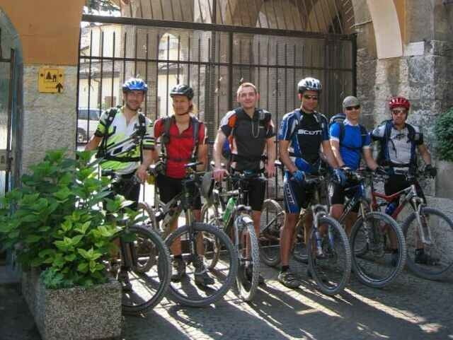
Tour gallery
Tour map and elevation profile
Minimum height 83 m
Maximum height 2022 m
More about the tour author

|
rg021927 |
Comments
Locarno is hard to reach by train at least from munich! Thanks to Martin!!! we had a ride with a rental van.
GPS tracks
Trackpoints-
GPX / Garmin Map Source (gpx) download
-
TCX / Garmin Training Center® (tcx) download
-
CRS / Garmin Training Center® (crs) download
-
Google Earth (kml) download
-
G7ToWin (g7t) download
-
TTQV (trk) download
-
Overlay (ovl) download
-
Fugawi (txt) download
-
Kompass (DAV) Track (tk) download
-
Track data sheet (pdf) download
-
Original file of the author (gpx) download
More about the tour author
|
|
rg021927 |
Add to my favorites
Remove from my favorites
Edit tags
Open track
My score
Rate
Bin sie gefahren