


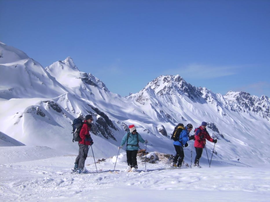
Von der empfehlenswerten Heidelberger Hütte (2264m) das Tal entlang Richtung Süden, dann in einer Schleife auf den Ostgrat und zuletzt steil, meist in guter Spur ohne Steigeisen zum Gipfel des Piz Tasna 3179 m, Paradeskiberg der Heidelberger Hütte. Abfahrt nach Nordosten und Gegenanstieg zum Piz Davo Lais, 3017 m. Abschließend zunächst Abfahrt Richtung Westen dann am besten der Aufstiegsspur entlang zur Hütte zurück.
Further information at
http://www.dav-teisendorf.de/berichte/av_touren/2008/silvretta/index.htmTour gallery

Tour map and elevation profile
Minimum height 2262 m
Maximum height 3184 m
More about the tour author
|
|
herzi |
Comments

Mit Pkw über Innsburck-Landeck ins Paznauntal und nach Ischgl/Tirol. Es besteht die Möglichkeit, mit der Pistenraupe bis zu Hütte zu fahren, um den langen Hatscher zu vermeiden.
GPS tracks
Trackpoints-
GPX / Garmin Map Source (gpx) download
-
TCX / Garmin Training Center® (tcx) download
-
CRS / Garmin Training Center® (crs) download
-
Google Earth (kml) download
-
G7ToWin (g7t) download
-
TTQV (trk) download
-
Overlay (ovl) download
-
Fugawi (txt) download
-
Kompass (DAV) Track (tk) download
-
Track data sheet (pdf) download
-
Original file of the author (gpx) download
More about the tour author
|
|
herzi |
Add to my favorites
Remove from my favorites
Edit tags
Open track
My score
Rate