Login

Forgot your login?

Cookies have to be accepted!
Your browser's cookie functionality is disabled. Please enable this functionality.

Not a member yet?

Register now
Login

Available for registred users only

Log in to use this feature.

Forgot your login?

Cookies have to be accepted!
Your browser's cookie functionality is disabled. Please enable this functionality.

Not a member yet?

Register now
Filter
Categories
Advanced filters
  • Distance (km)
  • Height
Save filters Reset filter

TrackRank

QRCode

Technical data

Distance30,5 km Height457 m Way down450 m Duration01:50 h:m Date09.08.2008
Scores Author User Landscape Fun factor Fitness Technique

Statistics

1469 Views 5 Scores 246 Downloads 2.00 Average
Rate
  • Track data sheet
  • Directions
  • Downloads

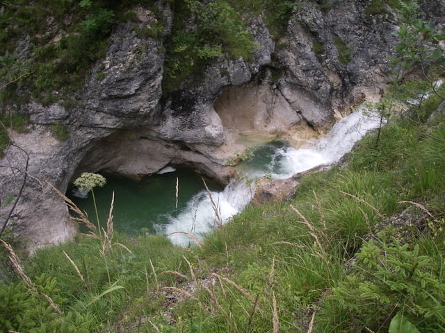
EBENSEE BF-RINDBACH-LOICHBACH-GRIEßENECK

BACH-OFFENSEE-LAHNSTEIN-ROITH-EBENSEE BF

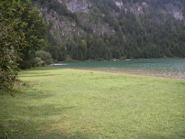
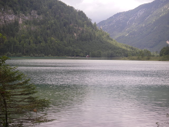
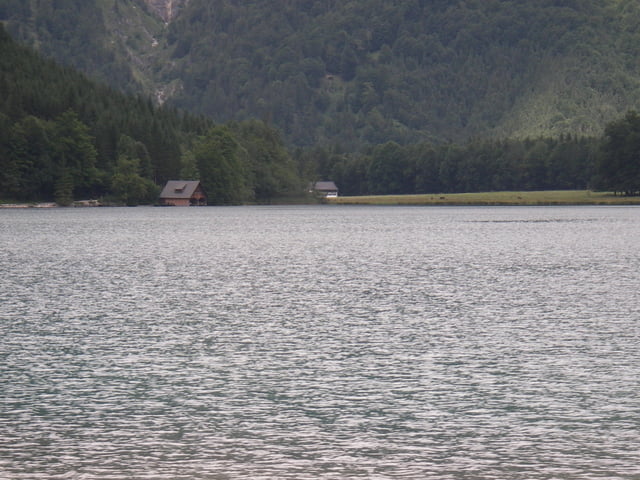
(Rindbach sehr schoene Auffahrt;vor Offensee etwas

steile Schiebestrecke;Offensee sehr schoene Land

schaft)

Tour gallery

Tour map and elevation profile

  • Open Street Map
  • Google
Minimum height 429 m Maximum height 859 m Detailed view

More about the tour author

sportalf
Member since 2008

Send private message

Comments

merida82 on 09.08.2010

2,5-3 Punkte von 5

Der Anstieg ist wirklich schön, besonders weil man immer neben dem rindbach sich hinauf quälen muss.
abzug gibts leider für die abfahrt der tour, diese führt über eine aspaltierte Bundesstraße mit nicht wenig verkehr. aber irgendwie muss man ja wieder runter kommen ;)

GPS tracks

Trackpoints
  • GPX / Garmin Map Source (gpx) download
  • TCX / Garmin Training Center® (tcx) download
  • CRS / Garmin Training Center® (crs) download
  • Google Earth (kml) download
  • G7ToWin (g7t) download
  • TTQV (trk) download
  • Overlay (ovl) download
  • Fugawi (txt) download
  • Kompass (DAV) Track (tk) download
  • Track data sheet (pdf) download
  • Original file of the author (gpx) download

More about the tour author

sportalf
Member since 2008

Send private message
Share track
Add to my favorites
Remove from my favorites
Edit tags
My score
Rate
Track: FAHRNAU-OFFENSEE
Type: Mountain bike
Distance: 30,5 km
Evaluated on:
Duration:
Day(s)
Hour(s)
Minute(s)
Score: Landscape Fun factor Fitness Technique