Login

Forgot your login?

Cookies have to be accepted!
Your browser's cookie functionality is disabled. Please enable this functionality.

Not a member yet?

Register now
Login

Available for registred users only

Log in to use this feature.

Forgot your login?

Cookies have to be accepted!
Your browser's cookie functionality is disabled. Please enable this functionality.

Not a member yet?

Register now
Filter
Categories
Advanced filters
  • Distance (km)
  • Height
Save filters Reset filter

TrackRank

QRCode

Technical data

Distance30,0 km Height1261 m Way down1265 m Duration02:50 h:m Date13.08.2008
Scores Author Landscape Fun factor Fitness Technique

Statistics

1842 Views 1 Score 270 Downloads 3.00 Average
Rate
  • Track data sheet
  • Directions
  • Downloads
Steinach am Brenner (Talstation Bergeralm) - über Forstweg zur Bergeralm - anschließend fast eben zur Nösslachhütte - Eggerjoch - steile Abfahrt bzw. Schiebestrecke zur Trunahütte - Trins - über den asphaltierten Weg neben dem Bach Richtung Steinach am Brenner (Talstation Bergeralm)
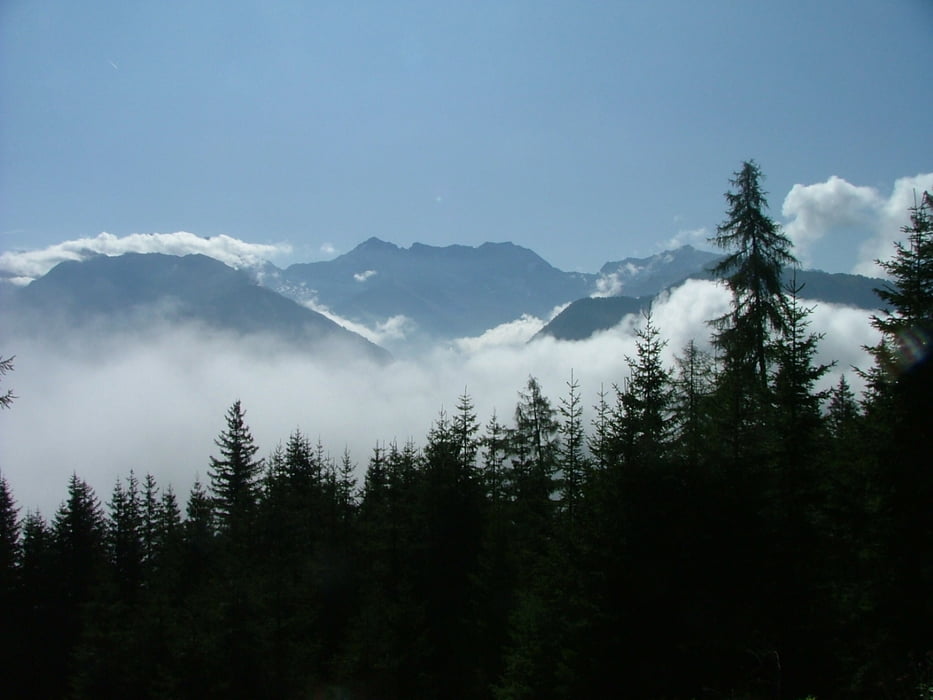
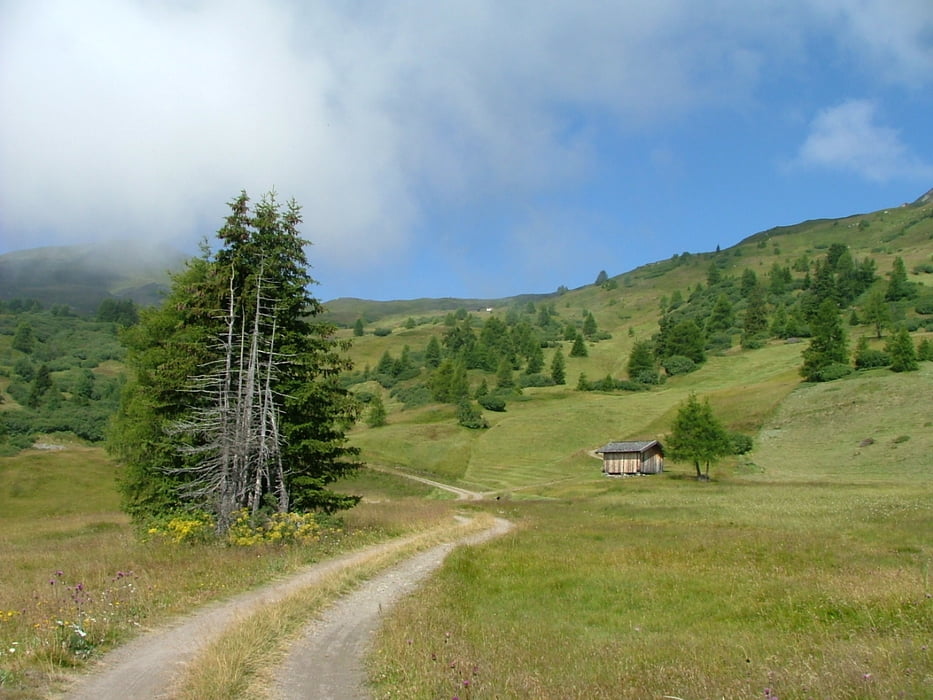
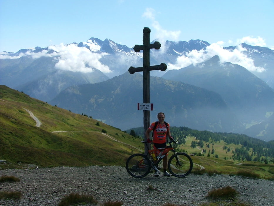
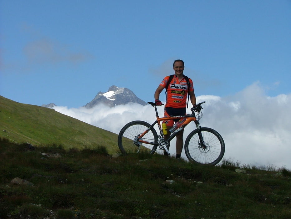
Tour gallery

Tour map and elevation profile

  • Open Street Map
  • Google
Minimum height 1016 m Maximum height 2140 m Detailed view

More about the tour author

Desert1
Member since 2008

Send private message

Comments

A13 (Brennerautobahn) - Ausfahrt Matrei - rechts abbiegen auf die B182 in Richtung Brenner - in der Ortschaft Steinach am Brenner unmittelbar vor der RAIKA rechts abbiegen in Richtung der Talstation der Bergeralm-Bahn. Dort kann man am Liftparkplatz oder unmittelbar dahinter kostenlos parken.

GPS tracks

Trackpoints
  • GPX / Garmin Map Source (gpx) download
  • TCX / Garmin Training Center® (tcx) download
  • CRS / Garmin Training Center® (crs) download
  • Google Earth (kml) download
  • G7ToWin (g7t) download
  • TTQV (trk) download
  • Overlay (ovl) download
  • Fugawi (txt) download
  • Kompass (DAV) Track (tk) download
  • Track data sheet (pdf) download
  • Original file of the author (gpx) download

More about the tour author

Desert1
Member since 2008

Send private message
Share track
Add to my favorites
Remove from my favorites
Edit tags
My score
Rate
Track: Mountainbikerunde von Steinach über das Egger Joch
Type: Mountain bike
Distance: 30,0 km
Evaluated on:
Duration:
Day(s)
Hour(s)
Minute(s)
Score: Landscape Fun factor Fitness Technique