


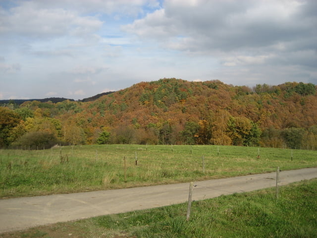
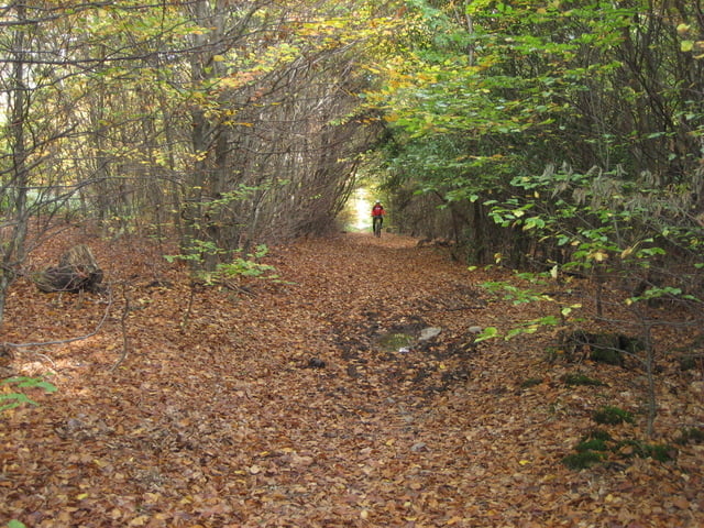
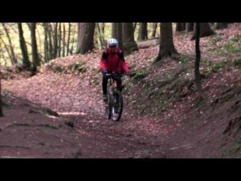
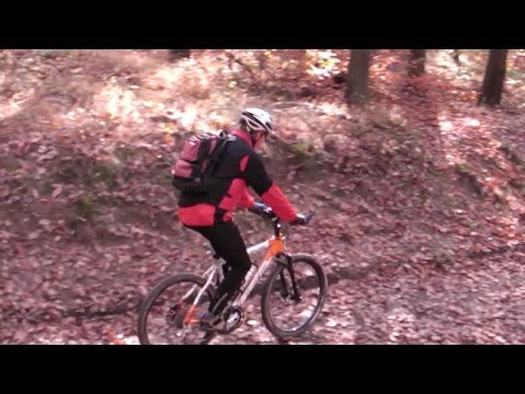
Die Tour führt meist auf Wanderwegen von Rheinbach in Richtung Ahrtal, knickt dann im Vischeltal Richtung Bad Münstereifel ab. Von dort geht es weiter in Richtnng Steinbachtalsperre und abschließend auf dem Erftradweg nach Euskirchen. Obwohl wir bei super Herbstwetter unterwegs waren, haben wir nur sehr wenige Leute getroffen.
Further information at
http://www.xalps.deTour gallery

Tour map and elevation profile
Minimum height 157 m
Maximum height 517 m
More about the tour author
|
|
XALPS.DE |
Comments

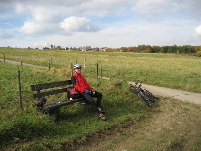
Start dieser Punkt-zu-Punkt Fahrt ist der Bahnhof in Rheinbach. Vom Zielpunkt Euskirchen gibt es eine direkte Bahnverbindung zurück nach Rheinbach.
GPS tracks
Trackpoints-
GPX / Garmin Map Source (gpx) download
-
TCX / Garmin Training Center® (tcx) download
-
CRS / Garmin Training Center® (crs) download
-
Google Earth (kml) download
-
G7ToWin (g7t) download
-
TTQV (trk) download
-
Overlay (ovl) download
-
Fugawi (txt) download
-
Kompass (DAV) Track (tk) download
-
Track data sheet (pdf) download
-
Original file of the author (gpx) download
More about the tour author
|
|
XALPS.DE |
Add to my favorites
Remove from my favorites
Edit tags
Open track
My score
Rate