Login

Forgot your login?

Cookies have to be accepted!
Your browser's cookie functionality is disabled. Please enable this functionality.

Not a member yet?

Register now
Login

Available for registred users only

Log in to use this feature.

Forgot your login?

Cookies have to be accepted!
Your browser's cookie functionality is disabled. Please enable this functionality.

Not a member yet?

Register now
Filter
Categories
Advanced filters
  • Distance (km)
  • Height
Save filters Reset filter

TrackRank

QRCode

Technical data

Distance59,9 km Height2155 m Way down2147 m Duration04:21 h:m Date25.10.2008
Scores Author Landscape Fun factor Fitness Technique

Statistics

1033 Views Scores 89 Downloads Average
Rate
  • Track data sheet
  • Directions
  • Downloads

25.10.2008

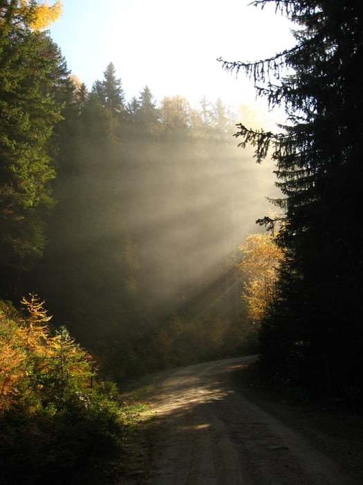
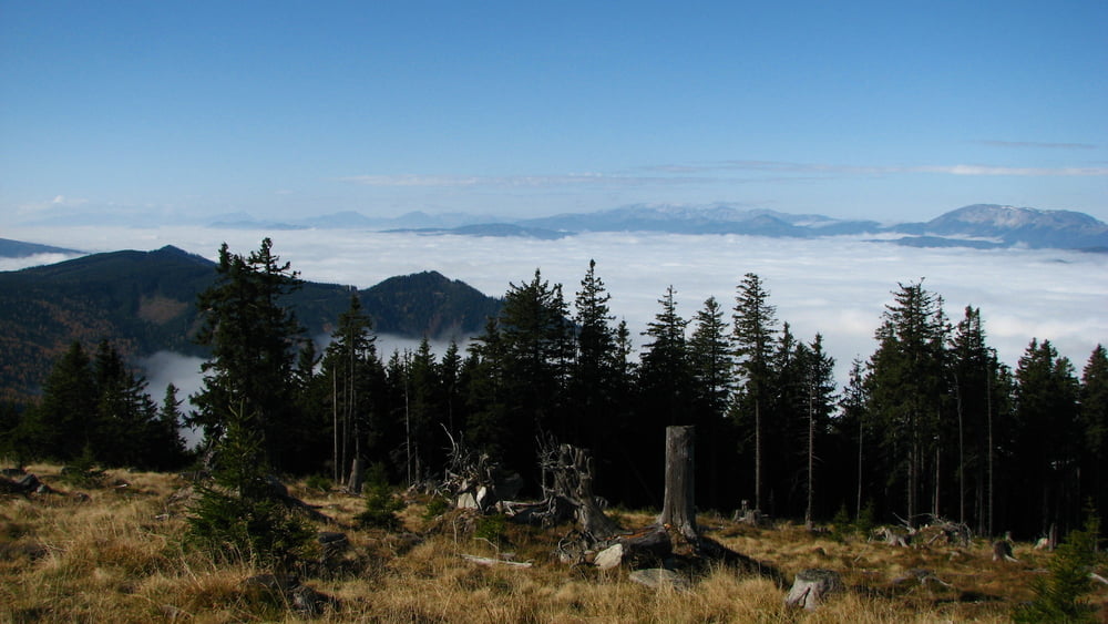
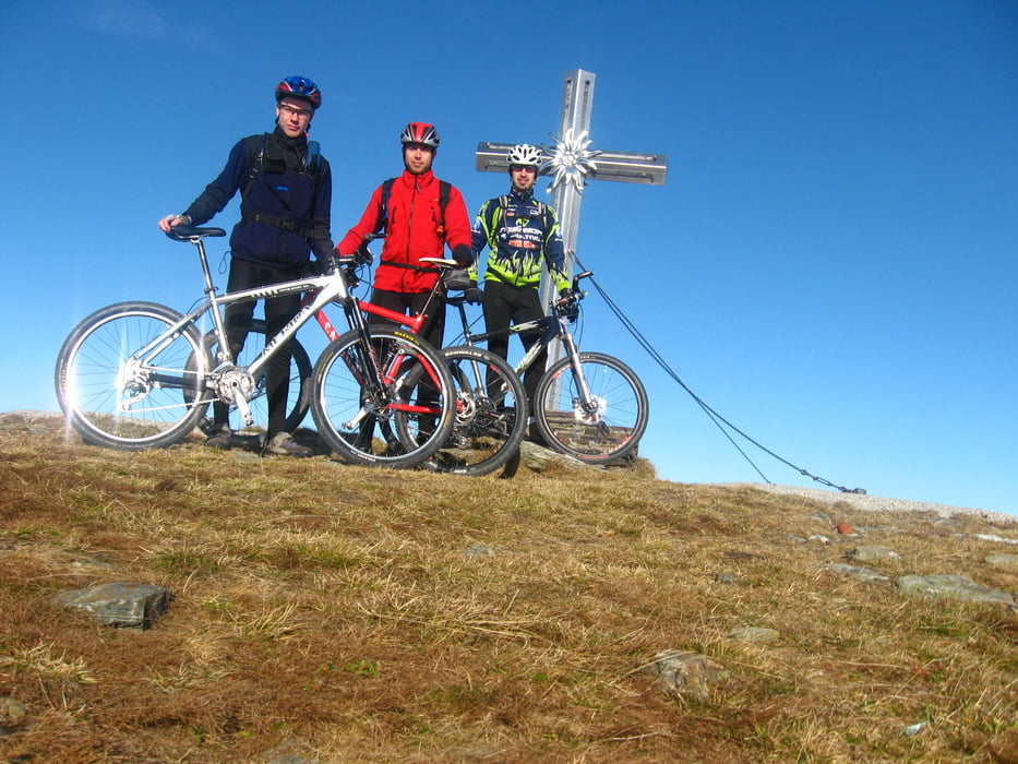
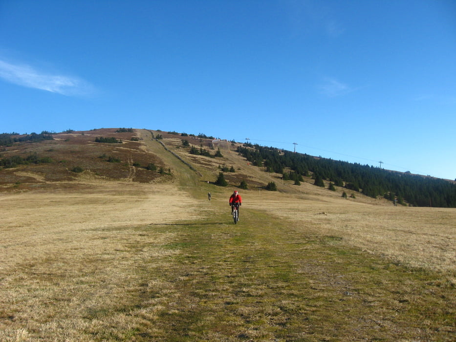
Túto trasu sme absolvovali podľa tracklogu od "michaela.kestner". Ťažko opísať dojmy, jednoducho niečo úžasné. Vďaka snáď všetkým typom terénov, nádherným výhľadom spojeným s nádhernou inverziou. Určite si túto trasu ešte aspoň raz prejdeme, no skôr v lete.

Tour gallery

Tour map and elevation profile

  • Open Street Map
  • Google
Minimum height 687 m Maximum height 1784 m Detailed view

More about the tour author

tmax
Member since 2007

Send private message

Comments

Murzzuschlag - Eckbauer - Poldbauer - Peterbauergreut - Mittere Stalle - Hans im Winkel Hutten - Kaiserhaus - Rosegghaus - Grubbauer - Feistritz - Rettenegg - Rennbauer - Pfaffensattel - Stuhleck - Ganzeben - Schwaigerhutte - Friedrichshutte - Bettelbauer - Schoneben - Schaller - Murzzuschlag

GPS tracks

Trackpoints
  • GPX / Garmin Map Source (gpx) download
  • TCX / Garmin Training Center® (tcx) download
  • CRS / Garmin Training Center® (crs) download
  • Google Earth (kml) download
  • G7ToWin (g7t) download
  • TTQV (trk) download
  • Overlay (ovl) download
  • Fugawi (txt) download
  • Kompass (DAV) Track (tk) download
  • Track data sheet (pdf) download
  • Original file of the author (gpx) download

More about the tour author

tmax
Member since 2007

Send private message
Share track
Add to my favorites
Remove from my favorites
Edit tags
My score
Rate
Track: 20081025_Stuhleck strecke
Type: Mountain bike
Distance: 59,9 km
Evaluated on:
Duration:
Day(s)
Hour(s)
Minute(s)
Score: Landscape Fun factor Fitness Technique