


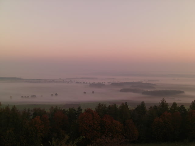
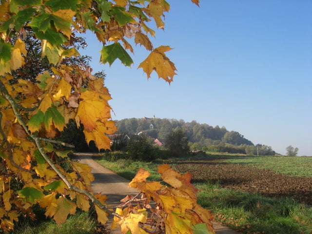
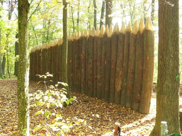
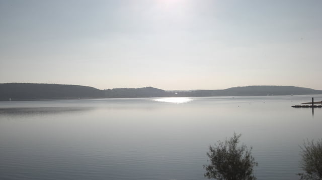
Der Altmühlpanoramaweg
Der Weg startet in Gunzenhausen und endet in Kelheim.
Bei dieser Etappe bin ich umgekehrt, vom "Gelben Berg" über Gunzenhausen, nach Hohenweiler gewandert.
Einkehrmöglichkeiten am Weg ausreichend
Zur nächsten Etappe ...www.gps-tour.info/de/touren/detail.26990.html
Further information at
http://www.naturpark-altmuehltal.de/wege/altmuehltal-panoramaweg-149/Tour gallery
Tour map and elevation profile
Minimum height 393 m
Maximum height 642 m
More about the tour author
|
|
Rezatfisch |
Comments

Der Altmühlpanoramaweg
Der Weg startet in Gunzenhausen und endet in Kelheim.
Bei dieser Etappe bin ich umgekehrt, vom "Gelben Berg" über Gunzenhausen, nach Hohenweiler gewandert.
Einkehrmöglichkeiten am Weg ausreichend
Zur nächsten Etappe ...www.gps-tour.info/de/touren/detail.26990.html
GPS tracks
Trackpoints-
GPX / Garmin Map Source (gpx) download
-
TCX / Garmin Training Center® (tcx) download
-
CRS / Garmin Training Center® (crs) download
-
Google Earth (kml) download
-
G7ToWin (g7t) download
-
TTQV (trk) download
-
Overlay (ovl) download
-
Fugawi (txt) download
-
Kompass (DAV) Track (tk) download
-
Track data sheet (pdf) download
-
Original file of the author (gpx) download
More about the tour author
|
|
Rezatfisch |
Add to my favorites
Remove from my favorites
Edit tags
Open track
My score
Rate