


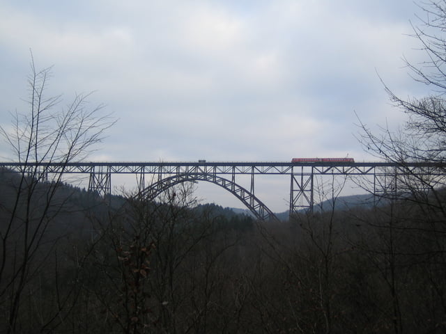
Von Altenberg zur Sengbachtalsperre über Schloß Burg und Müngstener Brücke bis Wuppertal und natürlich zurück.
Wenig Strasse, teils Schotterwege, teils Trail
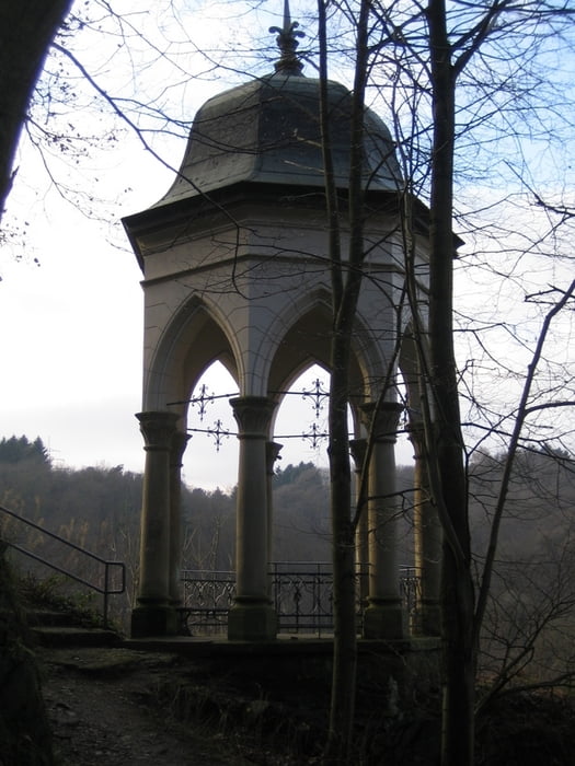
Einkehr: div. Möglichkeiten in Schloß Burg
Mir scheinen die errechneten Werte recht weit abzuweichen, hier meine Daten:
Tacho: 74 km, 5Std 26Min
GPS: 1780hm, 68,8 km, 5Std 19Min
bei 0 Grad Mitte Dezember. Im Sommer sollte sich die Zeit ein wenig verkürzen lassen.
Tour gallery
Tour map and elevation profile
Minimum height 96 m
Maximum height 287 m
More about the tour author
|
|
trails4all |
Comments

A1 Ausfahrt Burscheid, Rtg. Blecher/Altenberg, in Altenberg links Rtg. Dabringhausen,
nach ca. 2 km Wanderparkplatz Schöllerhof auf der rechten SeiteGPS tracks
Trackpoints-
GPX / Garmin Map Source (gpx) download
-
TCX / Garmin Training Center® (tcx) download
-
CRS / Garmin Training Center® (crs) download
-
Google Earth (kml) download
-
G7ToWin (g7t) download
-
TTQV (trk) download
-
Overlay (ovl) download
-
Fugawi (txt) download
-
Kompass (DAV) Track (tk) download
-
Track data sheet (pdf) download
-
Original file of the author (gpx) download
More about the tour author
|
|
trails4all |
Add to my favorites
Remove from my favorites
Edit tags
Open track
My score
Rate