


Auf dem Jakobsweg in Richtung Niederolang.Auf einem gut befahrbaren Radweg geht es noch recht ruhig zu. Auf Forstautobahnen und Single-Trails geht es zum Schartberg rauf. Bitte sucht euch, den Wanderweg Nr.2+8.Er wird wohl leichter zu fahren sein wie meine Strecke WP: 5182366 / 32 - 727848.
Ab der Ochsenalm geht es brutal Berg hoch. Auf dem Kronplatz geht es nur noch Berg ab bis St-Vigl,
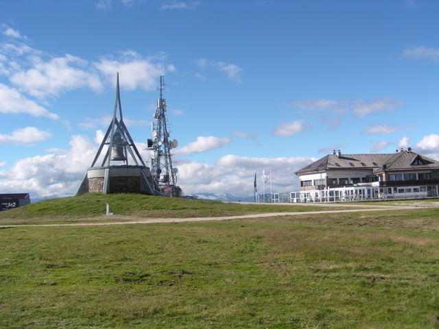
Gutes Essen und einen Herrlichen Blick gibt es nach dem Kronplatz in der Furkelhütte
Tour gallery
Tour map and elevation profile
Minimum height 979 m
Maximum height 2280 m
More about the tour author
|
|
julianernst |
Comments

GPS tracks
Trackpoints-
GPX / Garmin Map Source (gpx) download
-
TCX / Garmin Training Center® (tcx) download
-
CRS / Garmin Training Center® (crs) download
-
Google Earth (kml) download
-
G7ToWin (g7t) download
-
TTQV (trk) download
-
Overlay (ovl) download
-
Fugawi (txt) download
-
Kompass (DAV) Track (tk) download
-
Track data sheet (pdf) download
-
Original file of the author (gpx) download
More about the tour author
|
|
julianernst |
Add to my favorites
Remove from my favorites
Edit tags
Open track
My score
Rate