Login

Forgot your login?

Cookies have to be accepted!
Your browser's cookie functionality is disabled. Please enable this functionality.

Not a member yet?

Register now
Login

Available for registred users only

Log in to use this feature.

Forgot your login?

Cookies have to be accepted!
Your browser's cookie functionality is disabled. Please enable this functionality.

Not a member yet?

Register now
Filter
Categories
Advanced filters
  • Distance (km)
  • Height
Save filters Reset filter

TrackRank

QRCode

Technical data

Distance27,0 km Height762 m Way down731 m Duration02:18 h:m Date20.12.2008
Scores Author Landscape Fun factor Fitness Technique

Statistics

749 Views Scores 194 Downloads Average
Rate
  • Track data sheet
  • Directions
  • Downloads

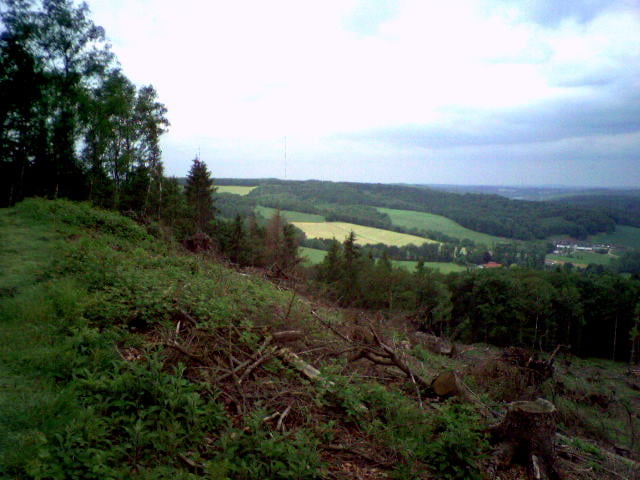
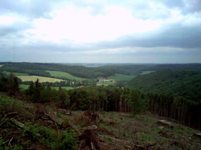
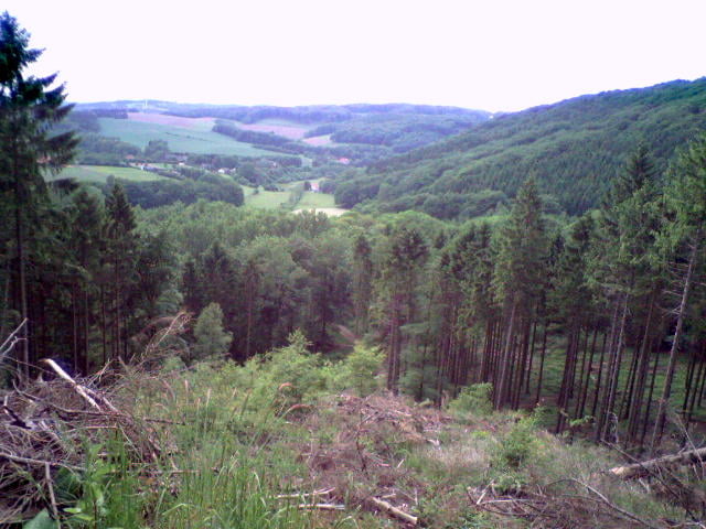
Schöne Tour durch das Bergische-Land  inkl. Bergerhof zum Essen und Trinken wenn man will.

Tour gallery

Tour map and elevation profile

  • Open Street Map
  • Google
Minimum height 119 m Maximum height 296 m Detailed view

More about the tour author

Cheyenne
Member since 2008

Send private message

Comments

An der Gaststätte Bismarckturm (Langenberger- Sender)

GPS tracks

Trackpoints
  • GPX / Garmin Map Source (gpx) download
  • TCX / Garmin Training Center® (tcx) download
  • CRS / Garmin Training Center® (crs) download
  • Google Earth (kml) download
  • G7ToWin (g7t) download
  • TTQV (trk) download
  • Overlay (ovl) download
  • Fugawi (txt) download
  • Kompass (DAV) Track (tk) download
  • Track data sheet (pdf) download
  • Original file of the author (gpx) download

More about the tour author

Cheyenne
Member since 2008

Send private message
Share track
Add to my favorites
Remove from my favorites
Edit tags
My score
Rate
Track: Schöne Tour bei Langenberg
Type: Mountain bike
Distance: 27,0 km
Evaluated on:
Duration:
Day(s)
Hour(s)
Minute(s)
Score: Landscape Fun factor Fitness Technique