Login

Forgot your login?

Cookies have to be accepted!
Your browser's cookie functionality is disabled. Please enable this functionality.

Not a member yet?

Register now
Login

Available for registred users only

Log in to use this feature.

Forgot your login?

Cookies have to be accepted!
Your browser's cookie functionality is disabled. Please enable this functionality.

Not a member yet?

Register now
Filter
Categories
Advanced filters
  • Distance (km)
  • Height
Save filters Reset filter

TrackRank

QRCode

Technical data

Distance54,9 km Height1309 m Way down1310 m Duration03:45 h:m Date26.12.2008
Scores Author User Landscape Fun factor Fitness Technique

Statistics

1295 Views 2 Scores 185 Downloads 4.50 Average
Rate
  • Track data sheet
  • Directions
  • Downloads
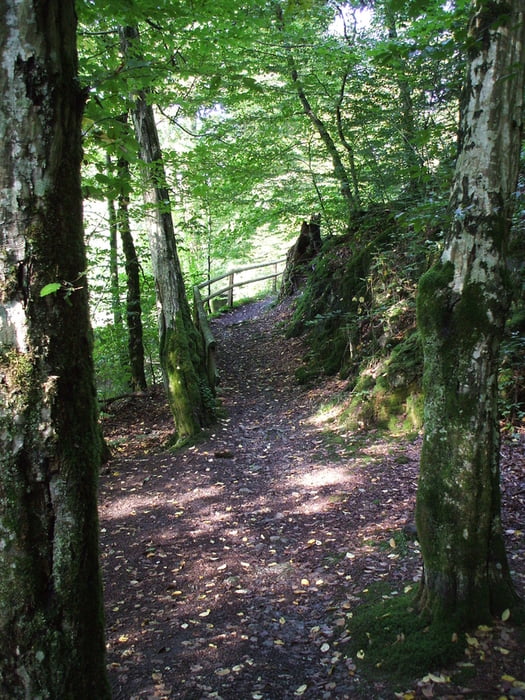
Die Tour führt meist über Hauptwanderwege, hat wenig Asphaltanteil, läßt sich auch bei schlechten Wetter gut fahren, im Uhrzeigersinn ist es etwas einfacher.
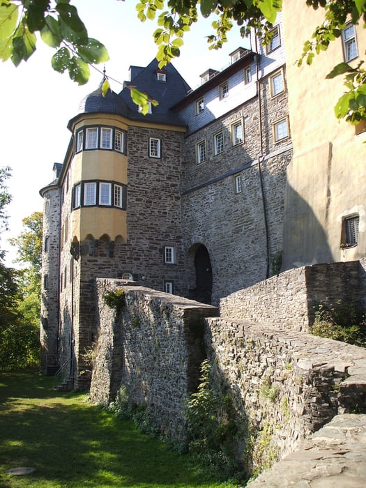
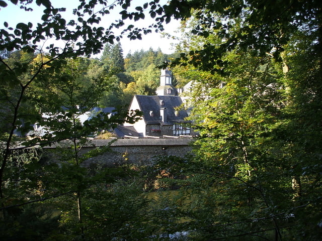
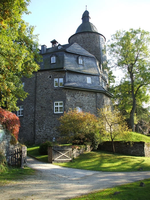
Tour gallery

Tour map and elevation profile

  • Open Street Map
  • Google
Minimum height 204 m Maximum height 514 m Detailed view

More about the tour author

Marzi
Member since 2008

Send private message

Comments


GPS tracks

Trackpoints
  • GPX / Garmin Map Source (gpx) download
  • TCX / Garmin Training Center® (tcx) download
  • CRS / Garmin Training Center® (crs) download
  • Google Earth (kml) download
  • G7ToWin (g7t) download
  • TTQV (trk) download
  • Overlay (ovl) download
  • Fugawi (txt) download
  • Kompass (DAV) Track (tk) download
  • Track data sheet (pdf) download
  • Original file of the author (gpx) download

More about the tour author

Marzi
Member since 2008

Send private message
Share track
Add to my favorites
Remove from my favorites
Edit tags
My score
Rate
Track: Siegen-Freusburg-Schloss Crottorf-Wildenburg-Siegen
Type: Mountain bike
Distance: 54,9 km
Evaluated on:
Duration:
Day(s)
Hour(s)
Minute(s)
Score: Landscape Fun factor Fitness Technique