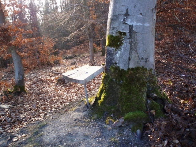
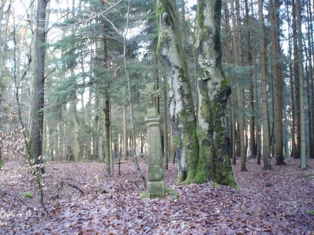
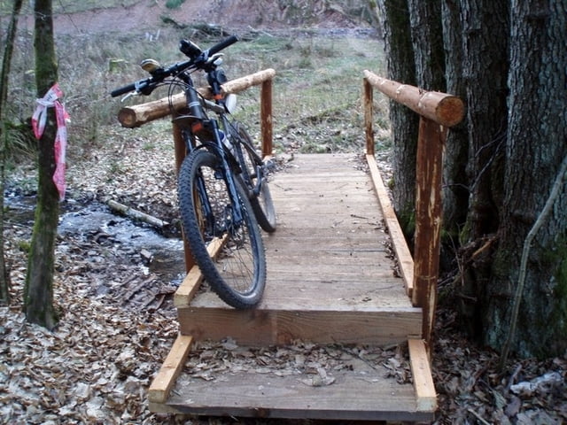
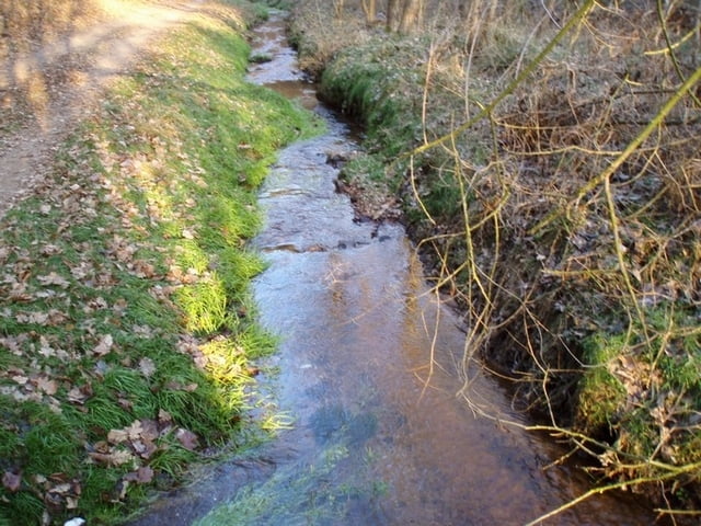
Login

Forgot your login?

Cookies have to be accepted!
Your browser's cookie functionality is disabled. Please enable this functionality.

Not a member yet?

Register now
Login

Available for registred users only

Log in to use this feature.

Forgot your login?

Cookies have to be accepted!
Your browser's cookie functionality is disabled. Please enable this functionality.

Not a member yet?

Register now
Filter
Categories
Advanced filters
  • Distance (km)
  • Height
Save filters Reset filter

TrackRank

QRCode

Technical data

Distance33,2 km Height650 m Way down541 m Duration02:30 h:m Date03.01.2009
Scores Author Landscape Fun factor Fitness Technique

Statistics

398 Views Scores 36 Downloads Average
Rate
  • Track data sheet
  • Directions
  • Downloads
...folgt

Tour gallery

Tour map and elevation profile

  • Open Street Map
  • Google
Minimum height 81 m Maximum height 393 m Detailed view

More about the tour author

Tropedo-Fahrrad
Member since 2008

Send private message

Comments

Adler1 on 23.06.2009

Hallo Dieter, bin neu hier im Forum und bin am Sonntag Deine Tour gefahren, da ich in Dodenburg wohne. Schöne Tour nur bei Niersbach haben wir uns etwas verfranst, da zum 1. ein heftiges Gewitter uns nass gemacht hat und mitlerweile die Wege bei dem kleinen schönen See total zugewachsen waren. Aber schöne Tour, endlich mal wieder neue Wege kennengelernt. Gruß Raimund

Hallo Raimund,

danke für das Lob! (Spornt an) Bin natürlich bemüht meine Touren immer mehr zu optimieren, was nicht immer ganz gelingt. Dann ist Eigeniniziative des nachfahrenden gefragt, was bei ne´m "richtigen" MTB´ler ja keine Frage ist.
Gruß
Dieter

GPS tracks

Trackpoints
  • GPX / Garmin Map Source (gpx) download
  • TCX / Garmin Training Center® (tcx) download
  • CRS / Garmin Training Center® (crs) download
  • Google Earth (kml) download
  • G7ToWin (g7t) download
  • TTQV (trk) download
  • Overlay (ovl) download
  • Fugawi (txt) download
  • Kompass (DAV) Track (tk) download
  • Track data sheet (pdf) download
  • Original file of the author (gpx) download

More about the tour author

Tropedo-Fahrrad
Member since 2008

Send private message
Share track
Add to my favorites
Remove from my favorites
Edit tags
My score
Rate
Track: 30 Km um Greverath
Type: Mountain bike
Distance: 33,2 km
Evaluated on:
Duration:
Day(s)
Hour(s)
Minute(s)
Score: Landscape Fun factor Fitness Technique