


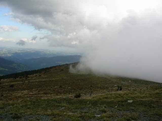
Route führt auf das Wetterkoglerhaus (1738m, höchster Punkt der Tour). Abfahrt zum Feistritzsattel und zurück nach Feistritzwald. Wenig Asphaltstraße. Bei der Abfahrt ist ein kleines Stück (ca. 200m) zu schieben, da hier ein Weg aufgelassen wurde und dadurch verwildert und unbefahrbar ist. Im Anschluss ist ein kleiner schmaler Bach zu überwinden, dies fördert den Outdoorcharakter der Tour. Landschaftlich sehr schöne Tour.
Tour gallery
Tour map and elevation profile
Minimum height 900 m
Maximum height 1747 m
More about the tour author

|
tom |
Comments

S6 Abfahrt Gloggnitz - Schlagl - Ottertal - Feistritzsattel - Feistritzwald (Ausgangspunkt)
GPS tracks
Trackpoints-
GPX / Garmin Map Source (gpx) download
-
TCX / Garmin Training Center® (tcx) download
-
CRS / Garmin Training Center® (crs) download
-
Google Earth (kml) download
-
G7ToWin (g7t) download
-
TTQV (trk) download
-
Overlay (ovl) download
-
Fugawi (txt) download
-
Kompass (DAV) Track (tk) download
-
Track data sheet (pdf) download
-
Original file of the author (gpx) download
More about the tour author
|
|
tom |
Add to my favorites
Remove from my favorites
Edit tags
Open track
My score
Rate