Login

Forgot your login?

Cookies have to be accepted!
Your browser's cookie functionality is disabled. Please enable this functionality.

Not a member yet?

Register now
Login

Available for registred users only

Log in to use this feature.

Forgot your login?

Cookies have to be accepted!
Your browser's cookie functionality is disabled. Please enable this functionality.

Not a member yet?

Register now
Filter
Categories
Advanced filters
  • Distance (km)
  • Height
Save filters Reset filter

TrackRank

QRCode

Technical data

Distance16,5 km Height569 m Way down569 m Duration04:00 h:m Date10.01.2009
Scores Author Landscape Fun factor Fitness Technique

Statistics

3764 Views Scores 692 Downloads Average
Rate
  • Track data sheet
  • Directions
  • Downloads
Da die Tour schon länger her ist und etwas wirr am Anfang war verweise ich lieber auf Moser Guide da ist die Tourbeschreibung drin, aus dem Gedächtnis bekomme ich es nicht mehr hin.
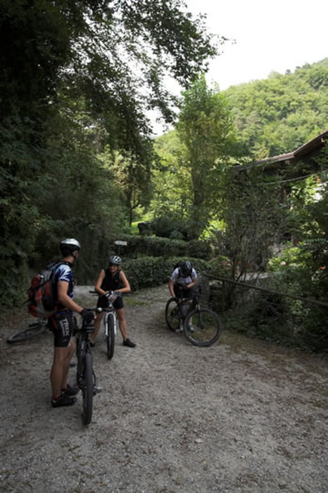
Tour gallery

Tour map and elevation profile

  • Open Street Map
  • Google
Minimum height 362 m Maximum height 808 m Detailed view

More about the tour author

dDesign
Member since 2008

Send private message

Comments

Von Riva kommend in Limone bergauf und Richtung Vesio dann an Kreuzung in Tremosine links Richtung Villa und Pieve.

GPS tracks

Trackpoints
  • GPX / Garmin Map Source (gpx) download
  • TCX / Garmin Training Center® (tcx) download
  • CRS / Garmin Training Center® (crs) download
  • Google Earth (kml) download
  • G7ToWin (g7t) download
  • TTQV (trk) download
  • Overlay (ovl) download
  • Fugawi (txt) download
  • Kompass (DAV) Track (tk) download
  • Track data sheet (pdf) download
  • Original file of the author (gpx) download

More about the tour author

dDesign
Member since 2008

Send private message
Share track
Add to my favorites
Remove from my favorites
Edit tags
My score
Rate
Track: Tremosine Runde
Type: Mountain bike
Distance: 16,5 km
Evaluated on:
Duration:
Day(s)
Hour(s)
Minute(s)
Score: Landscape Fun factor Fitness Technique