
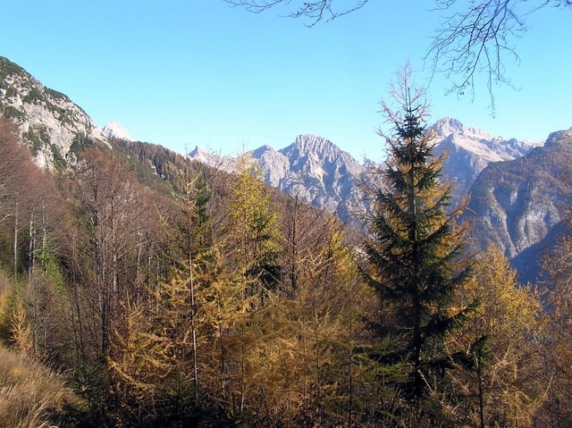

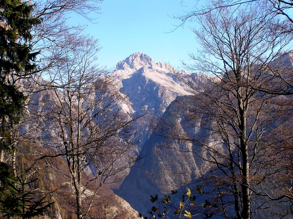
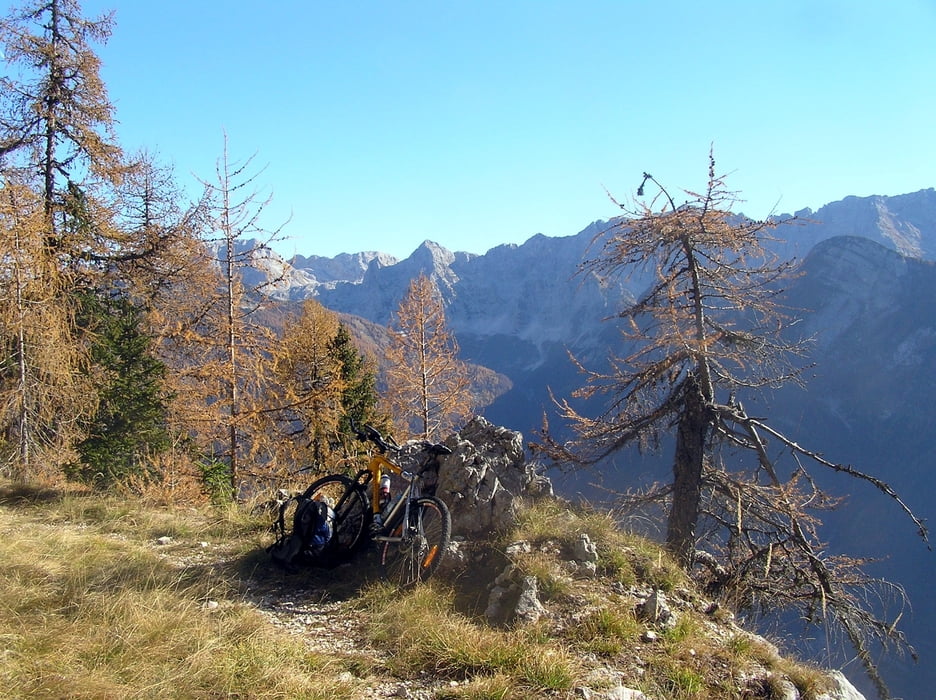
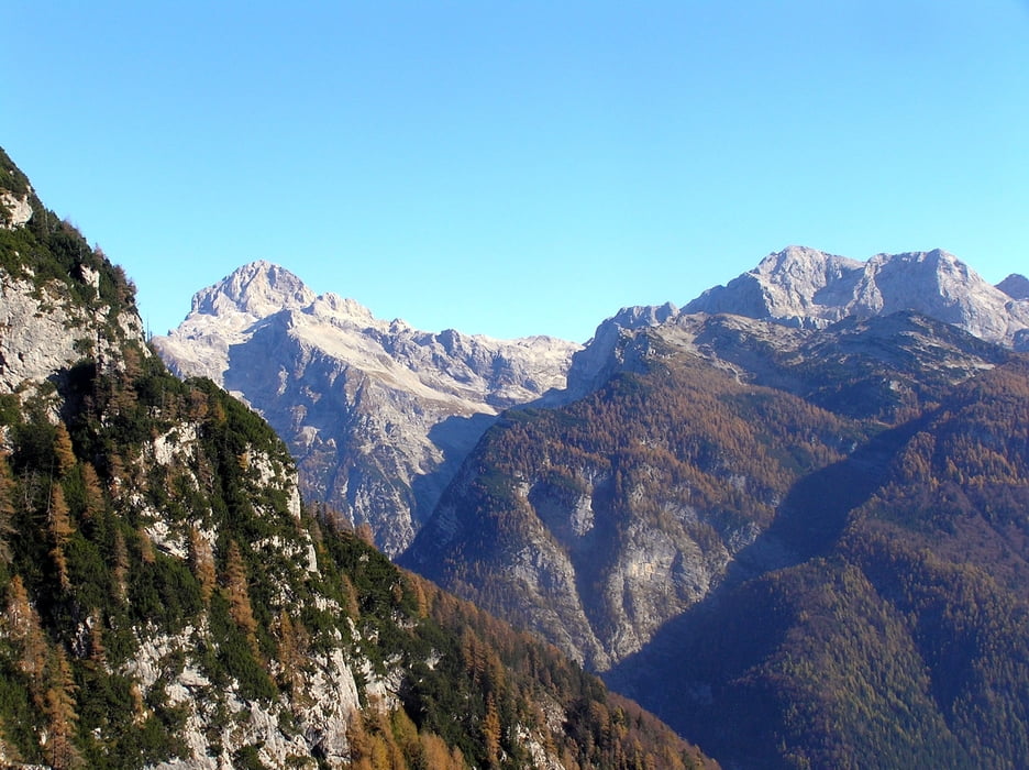
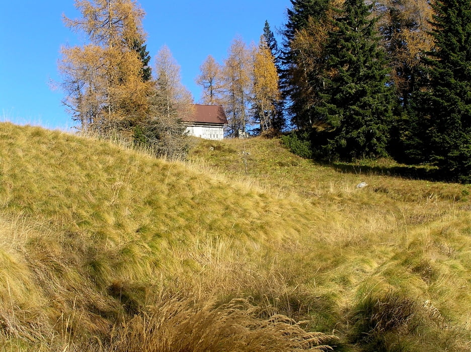
Turo pričnemo v Trenti izpred Trentarskega muzeja.peljemo se po regionalni cesti Trenta- Bovec. Pri lesenem stebru za oznako triglavski narodni park zavijemo desno na mulatjero, malo pred galerijo Berebica.Pričnemo se vzpenjati po serpentinah mimo dveh les in zapuščene hiše. Vzpenjamo se vse do serpentine št. 24. Tu gre mulatjera desno v dolgem prečenju, tu se začno odpirati čudoviti razgledi na Julice.Mulatjera postane vmes malo razrita in je potrebno sestopiti s kolesa.potem še sledi kratek vzpon in smo pri lovski koči , kjer je konec ture. Spust sledi po smeri vzpona.Med potjo lahko natočimo tudi vodo.
Tour gallery
Tour map and elevation profile
Minimum height 557 m
Maximum height 1619 m
More about the tour author

|
vito35 |
Comments

GPS tracks
Trackpoints-
GPX / Garmin Map Source (gpx) download
-
TCX / Garmin Training Center® (tcx) download
-
CRS / Garmin Training Center® (crs) download
-
Google Earth (kml) download
-
G7ToWin (g7t) download
-
TTQV (trk) download
-
Overlay (ovl) download
-
Fugawi (txt) download
-
Kompass (DAV) Track (tk) download
-
Track data sheet (pdf) download
-
Original file of the author (gpx) download
More about the tour author
|
|
vito35 |
Add to my favorites
Remove from my favorites
Edit tags
Open track
My score
Rate