Login

Forgot your login?

Cookies have to be accepted!
Your browser's cookie functionality is disabled. Please enable this functionality.

Not a member yet?

Register now
Login

Available for registred users only

Log in to use this feature.

Forgot your login?

Cookies have to be accepted!
Your browser's cookie functionality is disabled. Please enable this functionality.

Not a member yet?

Register now
Filter
Categories
Advanced filters
  • Distance (km)
  • Height
Save filters Reset filter

TrackRank

QRCode

Technical data

Distance26,3 km Height1028 m Way down1027 m Duration00:00 h:m Date12.01.2009
Scores Author Landscape Fun factor Fitness Technique

Statistics

946 Views Scores 306 Downloads Average
Rate
  • Track data sheet
  • Directions
  • Downloads

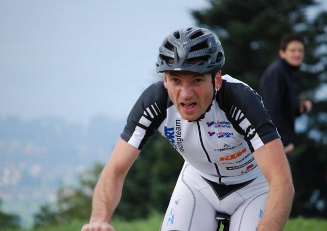
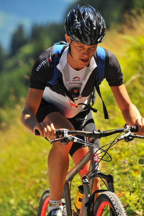
Strecke M1 sportlich

Startnummernausgabe und Nachnennung:      

Haus des Gastes
Freitag, 14:00 - 20:00 Uhr
Samstag, 6:30 – 9:00 Uhr             

Start:                    10:00 Uhr

Schruns „Haus des Gastes“

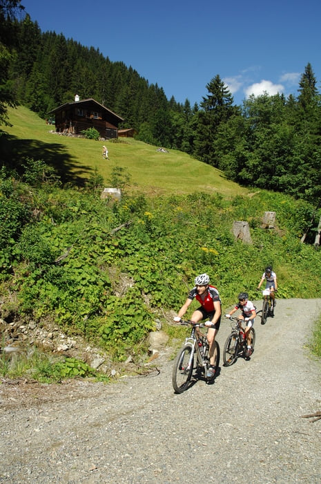
Strecke:               Schruns – Tschagguns – Latschau - Vandans – Matschwitz – Latschau – Bitschweil – Schruns    

Länge:                             26 km
Höhendifferenz :            970 HM

Ziel                        Schruns Kirchplatz

Zeitlimits:

Vandans              –             17:00 Uhr
Ziel                       –             19:00 Uhr           

Verpflegung und Technische Assistenz Zone (TAZ):     

Vandans              bei Kilometer 10
Schruns               bei Kilometer 28

Stargeld:             € 40,00 bis zum 27. Juli 2010 Nachnennung plus € 10,00 bis 1,5 Std. vor dem Start

Pfand für Zeitnehmung:              € 40,00

Wertung:            Damen, Herren, Junioren, Jugend

Further information at

http://www.montafon-m3.at

Tour gallery

Tour map and elevation profile

  • Open Street Map
  • Google
Minimum height 640 m Maximum height 1407 m Detailed view

More about the tour author

MTBC_Montafon
Member since 2008

Send private message

Comments

fernblick on 16.05.2012

Eine schöne Runde ...

... für <a href="http://blog.ferienhotel.at/blog/biken-vorarlberg">Biker</a>, die es in sich hat.

GPS tracks

Trackpoints
  • GPX / Garmin Map Source (gpx) download
  • TCX / Garmin Training Center® (tcx) download
  • CRS / Garmin Training Center® (crs) download
  • Google Earth (kml) download
  • G7ToWin (g7t) download
  • TTQV (trk) download
  • Overlay (ovl) download
  • Fugawi (txt) download
  • Kompass (DAV) Track (tk) download
  • Track data sheet (pdf) download
  • Original file of the author (gpx) download

More about the tour author

MTBC_Montafon
Member since 2008

Send private message
Share track
Add to my favorites
Remove from my favorites
Edit tags
My score
Rate
Track: Montafoner Mountainbike Marathon M1
Type: Mountain bike
Distance: 26,3 km
Evaluated on:
Duration:
Day(s)
Hour(s)
Minute(s)
Score: Landscape Fun factor Fitness Technique