
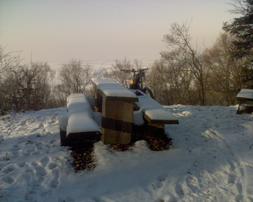

Sonntag der 11. Jaunuar 2009. Draussen gibt es Strahlend blauen Himmel, 6 Grad unter Null und herrlichen Pulverschnee. So ist Winter schön - also raus und rauf auf's Bike. Zwischen dem Startpunkt und dem Waldrand ist der Weg asphaltiert, sonst fährt man auf dieser Tour nur über Waldwege und ein paar Trails. Einfaches Mountainbiken - aber unter den eingangs beschriebenen Bedingungen genial.
Tour map and elevation profile
Minimum height 195 m
Maximum height 342 m
More about the tour author

|
Clemens Lauer |
Comments

Von der Hauptstraße in Kürnbach am Ortsausgang Richtung Sternenfels in die Klosterstraße einbiegen. Startpunkt ist vor der Kelter.
GPS tracks
Trackpoints-
GPX / Garmin Map Source (gpx) download
-
TCX / Garmin Training Center® (tcx) download
-
CRS / Garmin Training Center® (crs) download
-
Google Earth (kml) download
-
G7ToWin (g7t) download
-
TTQV (trk) download
-
Overlay (ovl) download
-
Fugawi (txt) download
-
Kompass (DAV) Track (tk) download
-
Track data sheet (pdf) download
-
Original file of the author (gpx) download
More about the tour author
|
|
Clemens Lauer |
Add to my favorites
Remove from my favorites
Edit tags
Open track
My score
Rate