


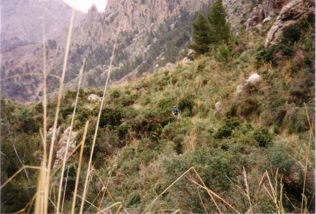
Anspruchsvolle aber äußerst schöne Tour durch das Tramutana Gebirge und an der Küste des Meers entlang. Die Tour führt über größere Teile über Asphalt - hat aber auch beste Trails im Programm und den angeblich steilsten Offroad Anstieg auf Mallorca. Ein Teil der Tour ist die Sa Calobra - eine 12km lange Pass-Strasse vom Meer auf rund 800m höhe - eine der "Strassenkunstwerke" Spaniens.
Further information at
http://www.mallorca.deTour gallery
Tour map and elevation profile
Minimum height 1 m
Maximum height 1212 m
More about the tour author
|
|
flentz |
Comments

Der Start empfiehlt sich entweder am Pakplatz am Stausee Gorg Blau oder aber in Soller selber.
GPS tracks
Trackpoints-
GPX / Garmin Map Source (gpx) download
-
TCX / Garmin Training Center® (tcx) download
-
CRS / Garmin Training Center® (crs) download
-
Google Earth (kml) download
-
G7ToWin (g7t) download
-
TTQV (trk) download
-
Overlay (ovl) download
-
Fugawi (txt) download
-
Kompass (DAV) Track (tk) download
-
Track data sheet (pdf) download
-
Original file of the author (gpx) download
More about the tour author
|
|
flentz |
Add to my favorites
Remove from my favorites
Edit tags
Open track
My score
Rate