


Schöne Feierabend-Trainingsfahrt von Gotha über den Kranberg zum Flugplatz-Kindel und zurück.
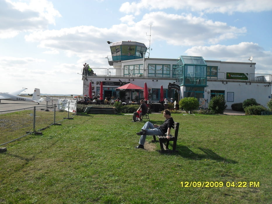
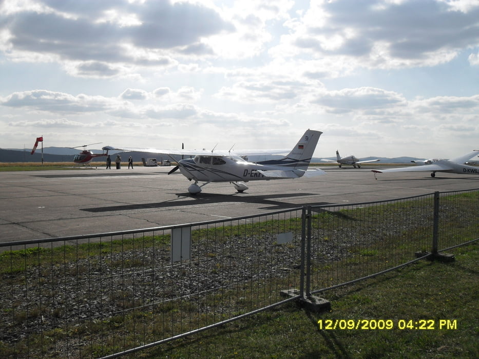
Auf dem Flughafen-Kindel gibt es immer etwas zu sehen. Kleinflugzeuge landen, starten und drehen ihre Kreise. Für das leibliche Wohl ist auch gesorgt. Hier gibt es gleich neben dem Tour die Gaststätte "Zum Propeller". Wenn Wind vorausgesagt wird, ist es hier nicht besonders angenehm. Besser an windstillen Tagen fahren. Zu bestimmten Terminen sind hier auch Flugshows und Rundflüge.
Wen es interessiert: Hin- u. Rückfahrt 1:52 h/min
Further information at
http://de.wikipedia.org/wiki/Flugplatz_Eisenach-KindelTour gallery
Tour map and elevation profile
Minimum height 250 m
Maximum height 430 m
More about the tour author
|
|
Stampie |
Comments

Nehmen Sie auf der Autobahn A4 die Abfahrt Gotha (nicht Gotha-Boxberg !) und fahren dann immer in Richtung Stadtzentrum. Nach einiger Zeit befinden Sie sich auf der Straße (Friedrichstraße), wo mittig die Straßenbahn fährt. Dann weiter Richtung Eisenach auf der B7. Wenn Sie vor sich den "PRO-Markt" sehen, biegen Sie vorher scharf rechts ab und fahren den Schützenberg hinauf Richtung Friedrichswerth bzw. Goldbach. Nicht mehr auf der B7 weiter fahren! Nach ca. 1,3 Km sind Sie an der "Goldbacher Siedlung" und der Gaststätte "Gemeinschaftshaus" angekommen. Hier beginnt meine Tour.
GPS tracks
Trackpoints-
GPX / Garmin Map Source (gpx) download
-
TCX / Garmin Training Center® (tcx) download
-
CRS / Garmin Training Center® (crs) download
-
Google Earth (kml) download
-
G7ToWin (g7t) download
-
TTQV (trk) download
-
Overlay (ovl) download
-
Fugawi (txt) download
-
Kompass (DAV) Track (tk) download
-
Track data sheet (pdf) download
-
Original file of the author (gpx) download
More about the tour author
|
|
Stampie |
Add to my favorites
Remove from my favorites
Edit tags
Open track
My score
Rate