


Start Oberkirch an der Bäckerei Geldreich
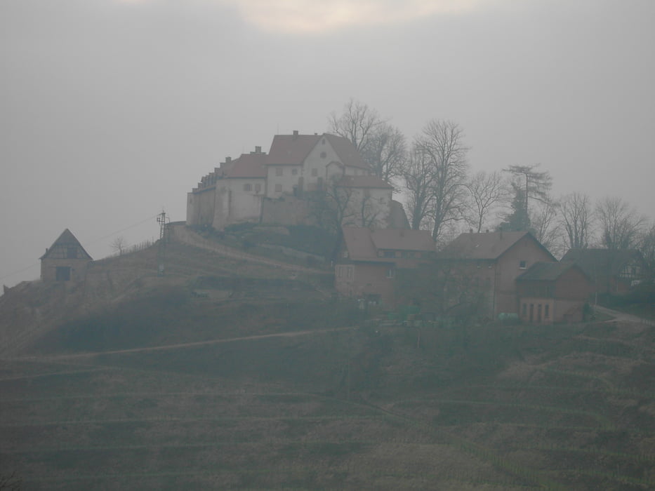
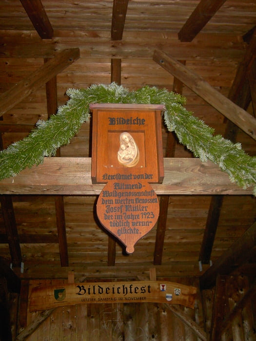
Oberkirch durch die Ortsteile Richtung Bottenau.Anschließend den Abzweig Richtung St. Wendelin Kapelle.Dort Richtung Münsterblickhütte auf dem Ortenauer Weinpfad (Blaue Traube auf rotem Grund) zum Schloss Staufenberg. Weiter zur Brandstetter Kapelle (überqueren der Straße) und Hummelswälder Hof.Dem Weg gerade aus folgen zur Bildeiche.Von der Bildeiche weiter Richtung Ofenlochhütte/Mooskopf. Beim Abzweig des Kandelhöhenweges auf diesem einbiegen und weiter folgen wieder in Richtung Oberkirch zum Ausgangspunkt.
Tour gallery
Tour map and elevation profile
Minimum height 152 m
Maximum height 468 m
More about the tour author
|
|
ambaibiker |
Comments

GPS tracks
Trackpoints-
GPX / Garmin Map Source (gpx) download
-
TCX / Garmin Training Center® (tcx) download
-
CRS / Garmin Training Center® (crs) download
-
Google Earth (kml) download
-
G7ToWin (g7t) download
-
TTQV (trk) download
-
Overlay (ovl) download
-
Fugawi (txt) download
-
Kompass (DAV) Track (tk) download
-
Track data sheet (pdf) download
-
Original file of the author (gpx) download
More about the tour author
|
|
ambaibiker |
Add to my favorites
Remove from my favorites
Edit tags
Open track
My score
Rate