Login

Forgot your login?

Cookies have to be accepted!
Your browser's cookie functionality is disabled. Please enable this functionality.

Not a member yet?

Register now
Login

Available for registred users only

Log in to use this feature.

Forgot your login?

Cookies have to be accepted!
Your browser's cookie functionality is disabled. Please enable this functionality.

Not a member yet?

Register now
Filter
Categories
Advanced filters
  • Distance (km)
  • Height
Save filters Reset filter

TrackRank

QRCode

Technical data

Distance21,1 km Height496 m Way down542 m Duration01:15 h:m Date06.02.2009
Scores Author User Landscape Fun factor Fitness Technique

Statistics

858 Views 2 Scores 195 Downloads 2.50 Average
Rate
  • Track data sheet
  • Directions
  • Downloads

Eine etwas anspruchvollere Runde durch den Königsforst, mit wechseldem Untergrund,

Sand, Waldboden, Schotter und Asphalt und einem knackigen Anstieg zum Monte Troodelöh und einem von Untereschbach nach Bensberg.

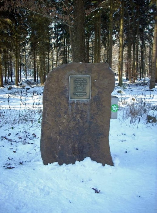
Further information at

http://www.monte-troodeloeh.de/

Tour map and elevation profile

  • Open Street Map
  • Google
Minimum height -74 m Maximum height 215 m Detailed view

More about the tour author

samalt
Member since 2009

Send private message

Comments

GPS tracks

Trackpoints
  • GPX / Garmin Map Source (gpx) download
  • TCX / Garmin Training Center® (tcx) download
  • CRS / Garmin Training Center® (crs) download
  • Google Earth (kml) download
  • G7ToWin (g7t) download
  • TTQV (trk) download
  • Overlay (ovl) download
  • Fugawi (txt) download
  • Kompass (DAV) Track (tk) download
  • Track data sheet (pdf) download
  • Original file of the author (gpx) download

More about the tour author

samalt
Member since 2009

Send private message
Share track
Add to my favorites
Remove from my favorites
Edit tags
My score
Rate
Track: Monte Troodelöh
Type: Mountain bike
Distance: 21,1 km
Evaluated on:
Duration:
Day(s)
Hour(s)
Minute(s)
Score: Landscape Fun factor Fitness Technique