


Dies ist eine schöne Spritztour nach der Arbeit.
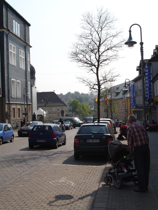
Startpunkt der Tour ist der Schützenplatz im Stadtteil Clausthal von Clausthal-Zellerfeld. Von hier geht es über Zellerfeld zum Spiegeltal. Auf single trails geht es durchs Tal nach Wildemann. Einmal die Hauptstraße (L515) kreuzen und den Hang hinauf zum Gallenberg. Über Keller, Spinne, Schweinebraten und Taternplatz geht es zurück Richtung Buntenbock. Von hier an geht er mit geringer Steigung zurück nach Clausthal-Zellerfeld. Dabei sollte man zum Abschluß ein kühles Bad im Schwarzenbacher Teich nicht vergessen.
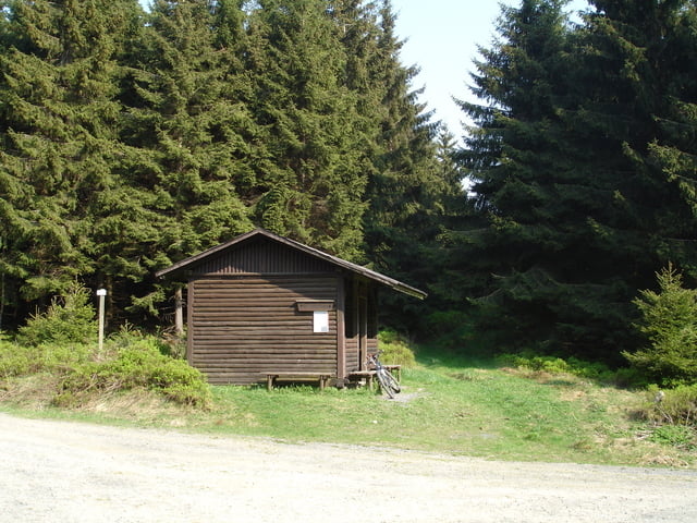
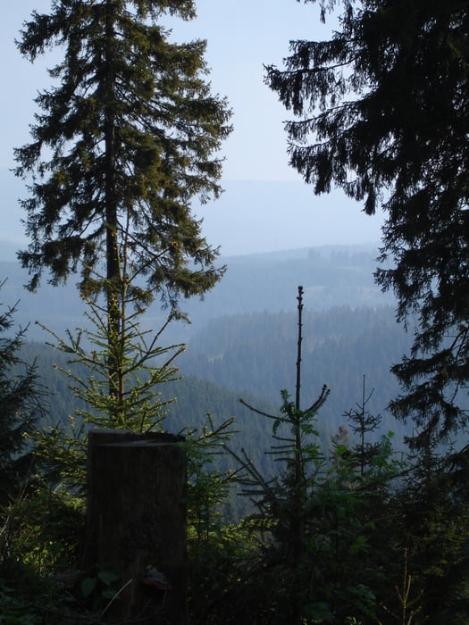
Die Strecke besteht aus Schotterwegen, kurzen Asphaltstücken und single trails. Die single trail sind teilweise steinig und verblock aber auch auf griffigem Waldboden. Genau der richtige Mix
Further information at
http://www.wildemann.de/Tour gallery
Tour map and elevation profile
Minimum height 397 m
Maximum height 598 m
More about the tour author

|
trailghost |
Comments

Auto: Über die Autobahn A7; Abfahrt Seesen und dann die B242 nach Clausthal-Zellerfeld
Bahn: Zug nach Goslar; per Bahnbus oder auf zwei Rädern nach Clausthal-Zellerfeld ca. 21km
GPS tracks
Trackpoints-
GPX / Garmin Map Source (gpx) download
-
TCX / Garmin Training Center® (tcx) download
-
CRS / Garmin Training Center® (crs) download
-
Google Earth (kml) download
-
G7ToWin (g7t) download
-
TTQV (trk) download
-
Overlay (ovl) download
-
Fugawi (txt) download
-
Kompass (DAV) Track (tk) download
-
Track data sheet (pdf) download
-
Original file of the author (gpx) download
More about the tour author
|
|
trailghost |
Add to my favorites
Remove from my favorites
Edit tags
Open track
My score
Rate