Login

Forgot your login?

Cookies have to be accepted!
Your browser's cookie functionality is disabled. Please enable this functionality.

Not a member yet?

Register now
Login

Available for registred users only

Log in to use this feature.

Forgot your login?

Cookies have to be accepted!
Your browser's cookie functionality is disabled. Please enable this functionality.

Not a member yet?

Register now
Filter
Categories
Advanced filters
  • Distance (km)
  • Height
Save filters Reset filter

TrackRank

QRCode

Technical data

Distance39,1 km Height187 m Way down180 m Duration02:30 h:m Date15.02.2009
Scores Author Landscape Fun factor Fitness Technique

Statistics

220 Views Scores 18 Downloads Average
Rate
  • Track data sheet
  • Directions
  • Downloads
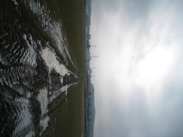
Interessanete Tour auf "Sorbet"-Boden (halbgefroren....). Start in Dutenhofen, von dort über Heuchelheim nach Giessen, weiter nach Buseck und dann durch Rödgen nach Annred. Von dort über Giessen zurück nach Dutenhofen.

Further information at

http://www.110ers.de

Tour map and elevation profile

  • Open Street Map
  • Google
Minimum height 154 m Maximum height 272 m Detailed view

More about the tour author

Oehli
Member since 2007

Send private message

Comments

GPS tracks

Trackpoints
  • GPX / Garmin Map Source (gpx) download
  • TCX / Garmin Training Center® (tcx) download
  • CRS / Garmin Training Center® (crs) download
  • Google Earth (kml) download
  • G7ToWin (g7t) download
  • TTQV (trk) download
  • Overlay (ovl) download
  • Fugawi (txt) download
  • Kompass (DAV) Track (tk) download
  • Track data sheet (pdf) download
  • Original file of the author (gpx) download

More about the tour author

Oehli
Member since 2007

Send private message
Share track
Add to my favorites
Remove from my favorites
Edit tags
My score
Rate
Track: Buseck & Annerod
Type: Mountain bike
Distance: 39,1 km
Evaluated on:
Duration:
Day(s)
Hour(s)
Minute(s)
Score: Landscape Fun factor Fitness Technique