
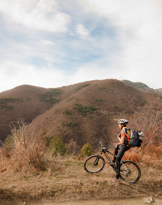

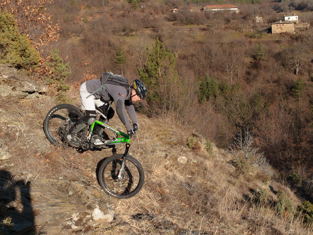
Един маршрут с култов статус ... заради хубавото спускане разбира се.
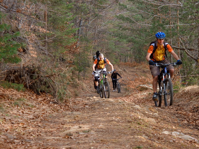
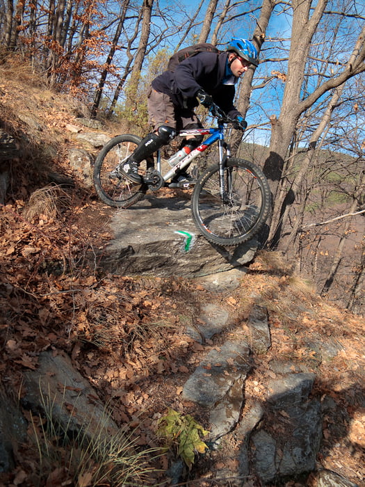
Пътеката надолу има от всичко - бързи виражи, тесни стръмни участъци, падчета, дропчета, серпентини и малко каманак ... няма какво да се желае повече.
За финал, маршрута завършва (всъшност и започва) от една нелоша кръчма.
А два завоя по надолу към Наречен от дясно на пътя е една от най яките родопски кръчми.
Избора е ваш :)
Further information at
http://outfaced.diinoweb.com/files/gallery/bike/2009/01%20Kosovo/Tour gallery
Tour map and elevation profile
Minimum height 594 m
Maximum height 1402 m
More about the tour author
|
|
outfaced |
Comments

Тръгва се от Нареченски бани по асфалта до Косово и от там се хваща черния път към Бяла черква.
GPS tracks
Trackpoints-
GPX / Garmin Map Source (gpx) download
-
TCX / Garmin Training Center® (tcx) download
-
CRS / Garmin Training Center® (crs) download
-
Google Earth (kml) download
-
G7ToWin (g7t) download
-
TTQV (trk) download
-
Overlay (ovl) download
-
Fugawi (txt) download
-
Kompass (DAV) Track (tk) download
-
Track data sheet (pdf) download
-
Original file of the author (gpx) download
More about the tour author
|
|
outfaced |
Add to my favorites
Remove from my favorites
Edit tags
Open track
My score
Rate