


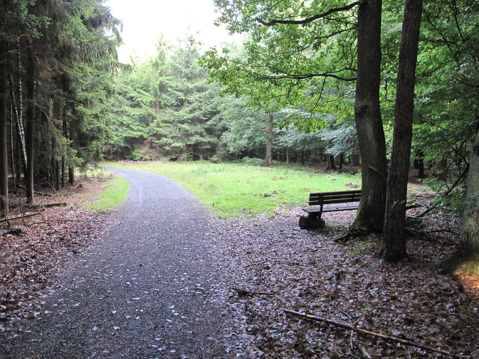
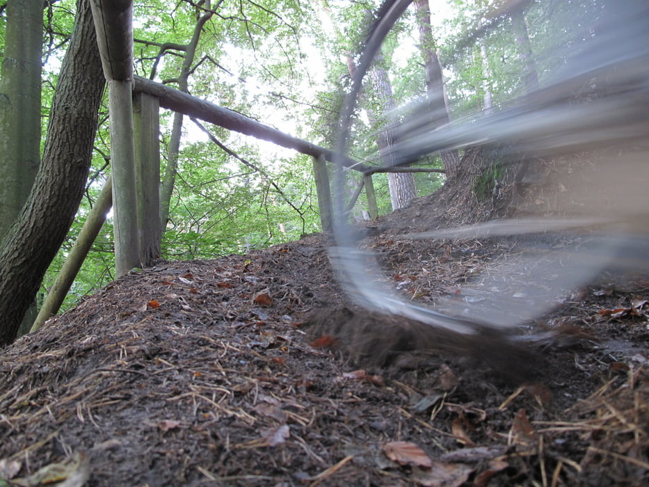
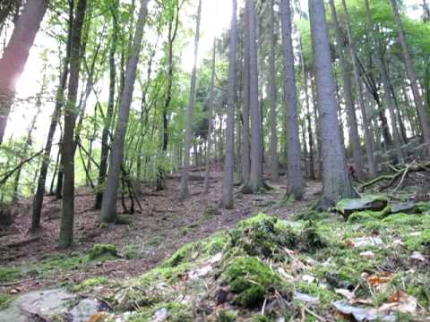
Charakter: Kurze und kurzweilige X-Country-Trainingsrunde, fast ausschließlich auf Forstwegen und Pfaden.
Beschreibung: Die Runde beinhaltet einige mehr oder weniger steile und lange Anstiege und Abfahrten und fordert zum Überspringen einiger querliegender Bäume einschl. zweier Kicker auf.
Je nach Zeit, Kondition und Wetter kann die Rund mehrfach gefahren bzw. gelaufenwerden und lässt sich somit ideal in einen Trainingsplan einbauen. Sehr einfach kann diese Tour auch etwas modifiziert werden, sobald die Strecke grundsätzlich einmal bekannt ist.
Further information at
http://www.michelbach.deTour gallery
Tour map and elevation profile
Minimum height 228 m
Maximum height 359 m
More about the tour author
|
|
Ritzelschoner |
Comments

Gut starten kann man entsprechen des Tracks entweder im Marburg-Michelbach. Die Straße 'Am Waldrand' liegt etwas oberhalb der Fußballplatzes. Alternativ kann z.B. auch in Marburg-Wehrda am Hallenbad oder an den Hochäusern (Ernst-Lämmer-Weg) gestartet werden. Parkplätze sind an allen Startpunkten ausreichend vorhanden.
GPS tracks
Trackpoints-
GPX / Garmin Map Source (gpx) download
-
TCX / Garmin Training Center® (tcx) download
-
CRS / Garmin Training Center® (crs) download
-
Google Earth (kml) download
-
G7ToWin (g7t) download
-
TTQV (trk) download
-
Overlay (ovl) download
-
Fugawi (txt) download
-
Kompass (DAV) Track (tk) download
-
Track data sheet (pdf) download
-
Original file of the author (gpx) download
More about the tour author
|
|
Ritzelschoner |
Add to my favorites
Remove from my favorites
Edit tags
Open track
My score
Rate