


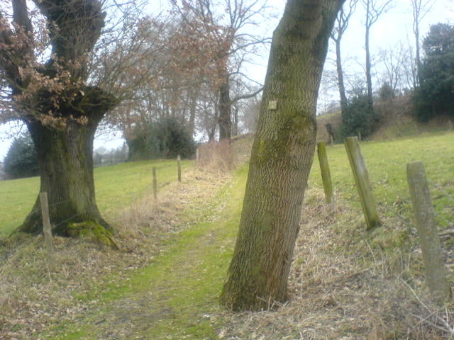
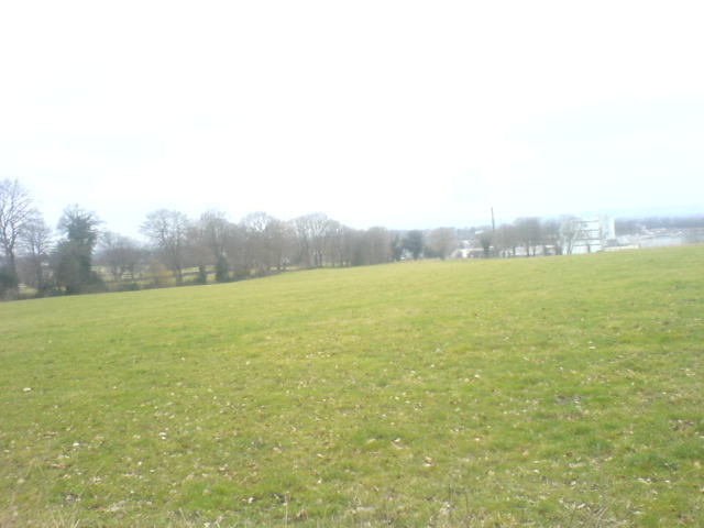
Von der Gallwitz-Kaserne in Aachen geht direkt durch den Wald über Lichtenbusch Richtung Eynatten. Alle Wege sind sehr leicht fahrbar, bei schlechter Witterung allerdings eher 'tiefes Geläuf'. Rund um Walhorn ändert sich daran kaum etwas. Der Gesamtanteil der Tour besteht aus ca. 10% Strassenanteil, bis die Route dann wieder in den Aachener Wald führt. Wer hier keine Lust auf einen höheren Trailanteil und einem Ansammeln von Höhenmetern hat, sollte bei Km 30 darüber nachdenken, direkt zum Startpunkt zurückzukehren. Kein Stück Asphalt mehr, versprochen!
Tour gallery
Tour map and elevation profile
Minimum height 212 m
Maximum height 359 m
More about the tour author
|
|
Tomo |
Comments

GPS tracks
Trackpoints-
GPX / Garmin Map Source (gpx) download
-
TCX / Garmin Training Center® (tcx) download
-
CRS / Garmin Training Center® (crs) download
-
Google Earth (kml) download
-
G7ToWin (g7t) download
-
TTQV (trk) download
-
Overlay (ovl) download
-
Fugawi (txt) download
-
Kompass (DAV) Track (tk) download
-
Track data sheet (pdf) download
-
Original file of the author (gpx) download
More about the tour author
|
|
Tomo |
Add to my favorites
Remove from my favorites
Edit tags
Open track
My score
Rate