Login

Forgot your login?

Cookies have to be accepted!
Your browser's cookie functionality is disabled. Please enable this functionality.

Not a member yet?

Register now
Login

Available for registred users only

Log in to use this feature.

Forgot your login?

Cookies have to be accepted!
Your browser's cookie functionality is disabled. Please enable this functionality.

Not a member yet?

Register now
Filter
Categories
Advanced filters
  • Distance (km)
  • Height
Save filters Reset filter

TrackRank

QRCode

Technical data

Distance101,3 km Height1661 m Way down1632 m Duration00:00 h:m Date01.03.2009
Scores Author Landscape Fun factor Fitness Technique

Statistics

2263 Views Scores 252 Downloads Average
Rate
  • Track data sheet
  • Directions
  • Downloads

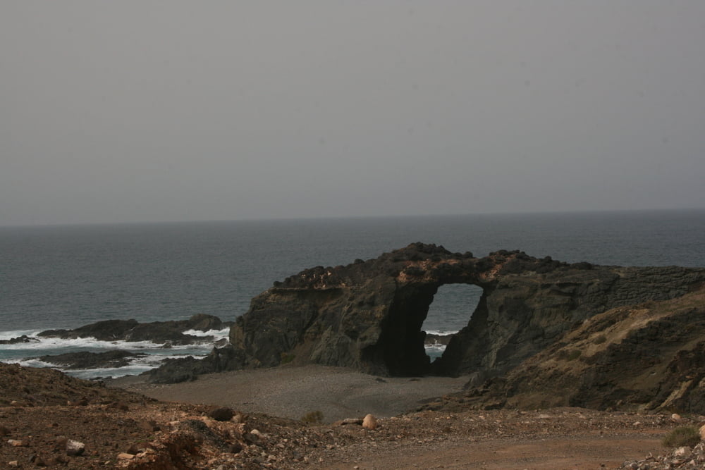
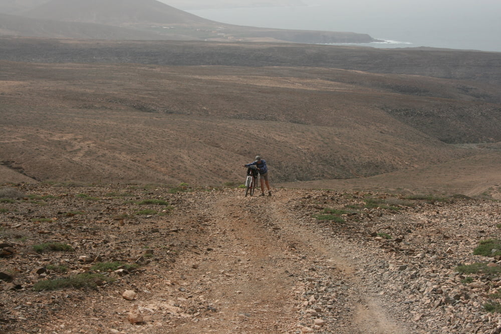
Diese Tour auf Fuerteventura führt uns von der Ostküste an die Westküste und zurück, durch die Hochebene sowie entlang der westlichen Atlantikküste. Vor allem der Abschnitt entlag der Westküste hat es in sich, mit vielen Schiebepassagen.

Start und Ziel sind in Calatta de Fuste.

Tour gallery

Tour map and elevation profile

  • Open Street Map
  • Google
Minimum height -18 m Maximum height 397 m Detailed view

More about the tour author

conanator
Member since 2007

Send private message

Comments

GPS tracks

Trackpoints
  • GPX / Garmin Map Source (gpx) download
  • TCX / Garmin Training Center® (tcx) download
  • CRS / Garmin Training Center® (crs) download
  • Google Earth (kml) download
  • G7ToWin (g7t) download
  • TTQV (trk) download
  • Overlay (ovl) download
  • Fugawi (txt) download
  • Kompass (DAV) Track (tk) download
  • Track data sheet (pdf) download
  • Original file of the author (gpx) download

More about the tour author

conanator
Member since 2007

Send private message
Share track
Add to my favorites
Remove from my favorites
Edit tags
My score
Rate
Track: Februar in Fuerteventura
Type: Mountain bike
Distance: 101,3 km
Evaluated on:
Duration:
Day(s)
Hour(s)
Minute(s)
Score: Landscape Fun factor Fitness Technique