


Leuke afwisselende tocht. Goed berijdbare wegen, ook als het erg nat is.
Als je van Hotton richting la Roche rijdt, sla je in Rendeux links af, richting Werpin. Parkeren en vertrekken juist over de brug van de Ourthe, of wat verder in het centrum van Werpin.
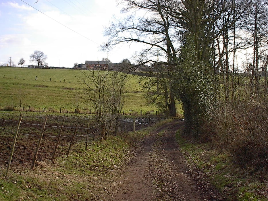
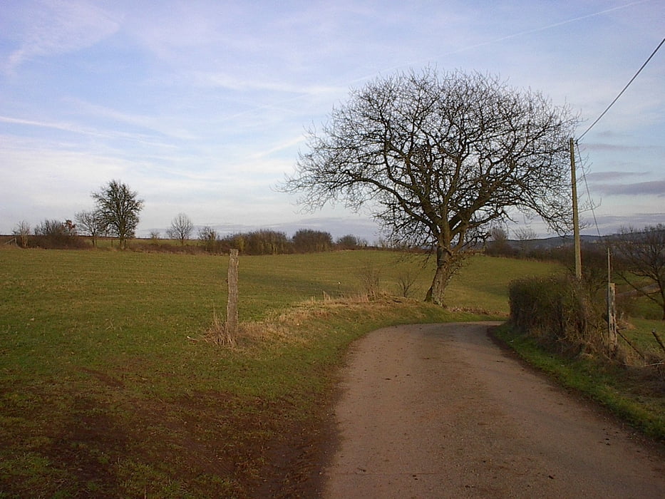
Tour gallery
Tour map and elevation profile
Minimum height 184 m
Maximum height 414 m
More about the tour author

|
jefhoremans |
Comments

Als je van Hotton richting la Roche rijdt, sla je in Rendeux links af, richting Werpin. Parkeren en vertrekken juist over de brug van de Ourthe, of wat verder in het centrum van Werpin.
GPS tracks
Trackpoints-
GPX / Garmin Map Source (gpx) download
-
TCX / Garmin Training Center® (tcx) download
-
CRS / Garmin Training Center® (crs) download
-
Google Earth (kml) download
-
G7ToWin (g7t) download
-
TTQV (trk) download
-
Overlay (ovl) download
-
Fugawi (txt) download
-
Kompass (DAV) Track (tk) download
-
Track data sheet (pdf) download
-
Original file of the author (gpx) download
More about the tour author
|
|
jefhoremans |
Add to my favorites
Remove from my favorites
Edit tags
Open track
My score
Rate