
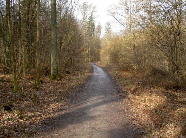

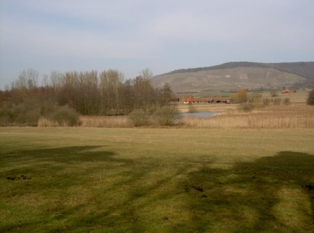
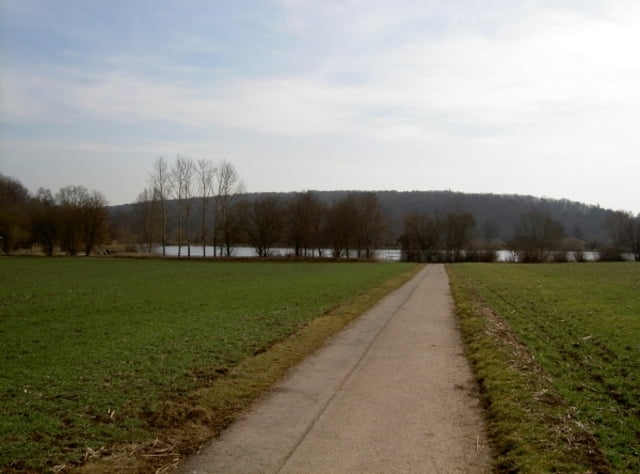
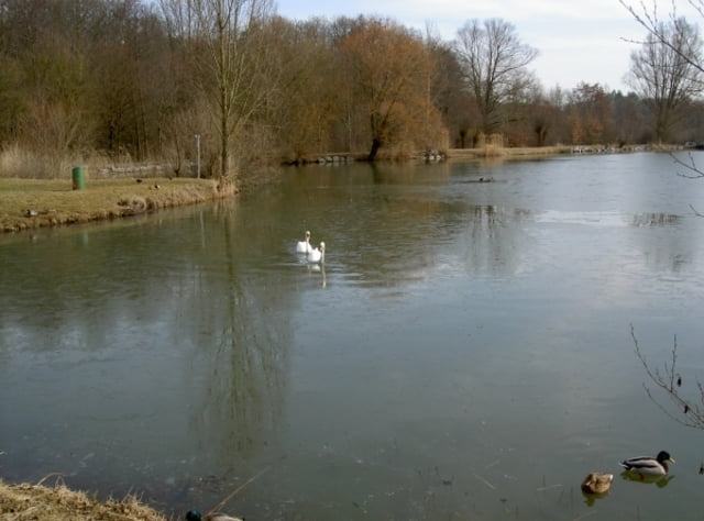
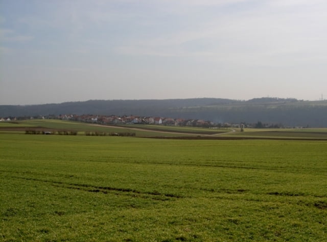
Die Tour startet in Oberriexingen am Sportplatz auf dem Parkplatz und führt überwiegend über befestigte Wald- und Feldwege. Beim Erstellen dieses Tracks wurde versucht soweit wie möglich durch die Natur und dabei möglichst im Wald zu fahren. Es müssen nur zwei Mal für kurze Zeit verkehrberuhtigte Straßen in Horrheim und Sersheim benutzt werden. Die Tour hat eine Länge von ca. 27 KM wobei es immer etwas bergauf oder bergab geht.
Tour gallery
Tour map and elevation profile
Minimum height 202 m
Maximum height 292 m
More about the tour author
|
|
chisonoio |
Comments

Startpunkt ist der Parkplatz am Sportplatz in 71739 Oberriexingen
GPS tracks
Trackpoints-
GPX / Garmin Map Source (gpx) download
-
TCX / Garmin Training Center® (tcx) download
-
CRS / Garmin Training Center® (crs) download
-
Google Earth (kml) download
-
G7ToWin (g7t) download
-
TTQV (trk) download
-
Overlay (ovl) download
-
Fugawi (txt) download
-
Kompass (DAV) Track (tk) download
-
Track data sheet (pdf) download
-
Original file of the author (gpx) download
More about the tour author
|
|
chisonoio |
Add to my favorites
Remove from my favorites
Edit tags
Open track
My score
Rate