


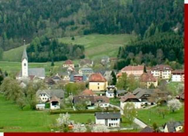
02.04.06 - Von Zienitzen über St. Salvator und St. Stefan zur steirischen Grenze, weiter nach Friesach (älteste Stadt Kärntens) und wieder zurück. Das MTB braucht man nur für eine kurze Abfahrt in St. Stefan - eigentlich reicht ein Trekking Bike und man schiebt eben die steile Abfahrt von ca. 50m länge.
Further information at
http://www.friesach.atTour gallery
Tour map and elevation profile
Minimum height 636 m
Maximum height 759 m
More about the tour author
|
|
exitus |
Comments

Von der Bezirkshauptstadt St. Veit an der Glan (Plz 9300) die B317 nach Friesach (Plz 9360) und von dort ins Metnitztal über St. Salvator (Plz 9361) nach Zienitzen.
GPS tracks
Trackpoints-
GPX / Garmin Map Source (gpx) download
-
TCX / Garmin Training Center® (tcx) download
-
CRS / Garmin Training Center® (crs) download
-
Google Earth (kml) download
-
G7ToWin (g7t) download
-
TTQV (trk) download
-
Overlay (ovl) download
-
Fugawi (txt) download
-
Kompass (DAV) Track (tk) download
-
Track data sheet (pdf) download
-
Original file of the author (gpx) download
More about the tour author
|
|
exitus |
Add to my favorites
Remove from my favorites
Edit tags
Open track
My score
Rate