


Weitere Bilder gibt es hier zu sehen: www.panoramio.com/photo/60303153
Der Heckengäu Erlebnispfad rund um Aidlingen wird abgefahren. Weitere Informationen zum Erlebnispfad gibt es im Internet. Gefunden können die Informationen: www.heckengaeu-natur-nah.de/erlebniswege-147.html
Zu empfehlen ist die Fahrtrichtung entgegen dem Uhrzeigersinn.
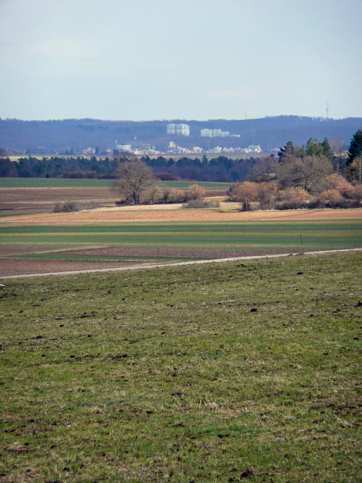
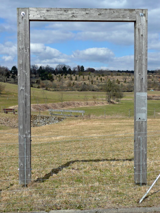
Beim Heckengäu- Erlebnispfad kann die Vielfalt des Heckengäus an verschiedenen Standorten erlebt werden. Entlang des Weges gibt es Landschaftsportale, die den Blick auf die landschaftliche Besonderheiten des Heckengäus zeigen. Verschiedene Attraktionen sind auf dem Weg: Sinnesspielplatz, Bodenlehrpfad und Niedrigseil-Parcours.
Attraktiv ist auch der Venusberg: albverein.net/2013/11/29/wandertipp-venusberg-bei-aidlingen/
Further information at
http://www.heckengaeu-natur-nah.deTour gallery
Tour map and elevation profile
Minimum height 421 m
Maximum height 575 m
More about the tour author
|
|
MatthiasBy |
Comments
Am Start des Erlebnispfades in der Nähe von Lehenweiler bei www.aidlingen.de/ ist ein Parkplatz. Dort ist auch eine ausführliche Hinweistafel.
Weitere lesenswerte Informationen gibt es auch von Region Stuttgart: www.stuttgart-tourist.de/a-naturschutzgebiet-venusberg-aidlingen
GPS tracks
Trackpoints-
GPX / Garmin Map Source (gpx) download
-
TCX / Garmin Training Center® (tcx) download
-
CRS / Garmin Training Center® (crs) download
-
Google Earth (kml) download
-
G7ToWin (g7t) download
-
TTQV (trk) download
-
Overlay (ovl) download
-
Fugawi (txt) download
-
Kompass (DAV) Track (tk) download
-
Track data sheet (pdf) download
-
Original file of the author (gpx) download
More about the tour author
|
|
MatthiasBy |
Add to my favorites
Remove from my favorites
Edit tags
Open track
My score
Rate
super tour
ich würde empfehlen gegen den Uhrzeigersinn zu fahren, dann sind die Anstiege nicht so giftig :-)