Login

Forgot your login?

Cookies have to be accepted!
Your browser's cookie functionality is disabled. Please enable this functionality.

Not a member yet?

Register now
Login

Available for registred users only

Log in to use this feature.

Forgot your login?

Cookies have to be accepted!
Your browser's cookie functionality is disabled. Please enable this functionality.

Not a member yet?

Register now
Filter
Categories
Advanced filters
  • Distance (km)
  • Height
Save filters Reset filter

TrackRank

QRCode

Technical data

Distance166,4 km Height3168 m Way down3408 m Duration12:55 h:m Date21.03.2009
Scores Author User Landscape Fun factor Fitness Technique

Statistics

2924 Views 3 Scores 289 Downloads 4.33 Average
Rate
  • Track data sheet
  • Directions
  • Downloads

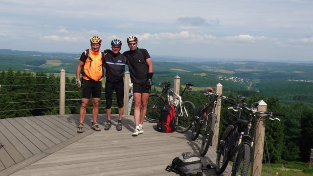
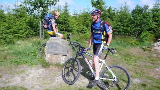
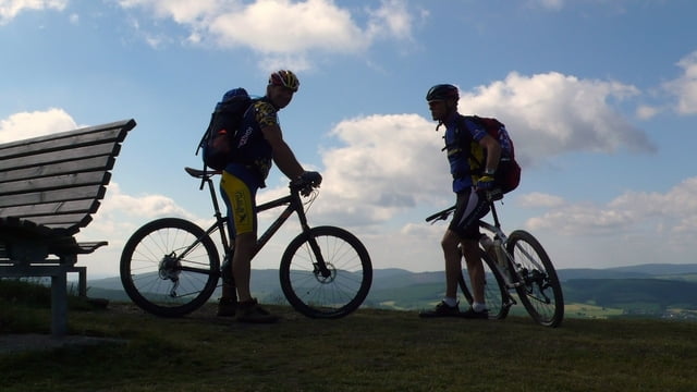
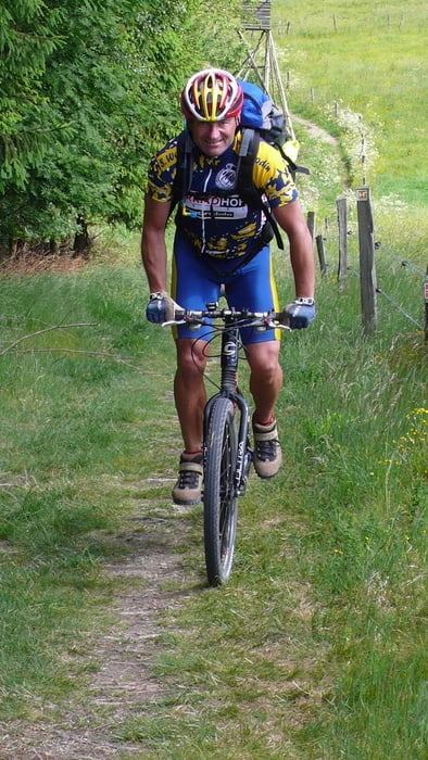
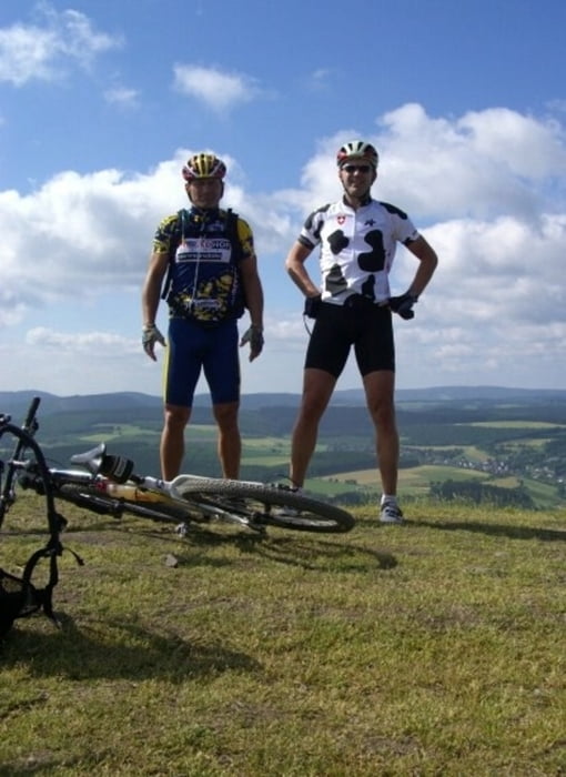
Der Rothaarsteig Juni 2008 in 2 Etappen von Brilon Wald-Dillenburg 2Tage 166,40KM & 3788 Höhenmeter in 12:55 Std. Netto Fahrzeit.

1,Tag: Brilon Wald - Lahnhof

  • KM                                                  98,20
  • Höhenmeter gesamt                        2362
  • Max. Höhe                                         843
  • Min. Höhe                                          515
  • Fahrzeit Netto                                   7:46
  • Fahrzeit Brutto   Start/Ziel 8:30-18:00 Uhr
  • Übernachtung in Lahnhof im Hotel Forsthaus Lahnquelle www.forsthaus-lahnquelle.de/lahnquelle/lahnquelle.html


2.Tag: Lahnhof - Dillenburg

  • KM                                                 68,20
  • Höhenmeter                                   1426
  • Max. Höhe                                       684
  • Min. Höhe                                        228
  • Fahrzeit Netto                                 5:18
  • Fahrzeit Brutto Start/Ziel 8:45-15:10 Uhr


Hier ein link: für mehr Bilder vom Rothaarsteig von Brilon Wald - Dillenburg


Further information at

https://picasaweb.google.com/115500129529958722035/RothaarsteigMTBJuni2008

Tour gallery

Tour map and elevation profile

  • Open Street Map
  • Google
Minimum height 228 m Maximum height 851 m Detailed view

More about the tour author

gpshimmel
Member since 2008

Send private message

Comments

Kerian on 17.05.2010

Danke

..sind die Tour am Samstag gefahren...
Dillenburg-Winterberg,
die Daten waren Top.
Danke
Gruß Kerian

GPS tracks

Trackpoints
  • GPX / Garmin Map Source (gpx) download
  • TCX / Garmin Training Center® (tcx) download
  • CRS / Garmin Training Center® (crs) download
  • Google Earth (kml) download
  • G7ToWin (g7t) download
  • TTQV (trk) download
  • Overlay (ovl) download
  • Fugawi (txt) download
  • Kompass (DAV) Track (tk) download
  • Track data sheet (pdf) download
  • Original file of the author (gpx) download

More about the tour author

gpshimmel
Member since 2008

Send private message
Share track
Add to my favorites
Remove from my favorites
Edit tags
My score
Rate
Track: Rothaarsteig in 2 Etappen von Brilon Wald bis Dillenburg
Type: Mountain bike
Distance: 166,4 km
Evaluated on:
Duration:
Day(s)
Hour(s)
Minute(s)
Score: Landscape Fun factor Fitness Technique