


Aus der Winchenbach geht s über Rödgen, Wilnsdorf, auf den Rothaarsteig in Richtung Haincher Höhe.
Kurz vor der Haincher Höhe geht es zwischen Gernsdorf und Irmgarteichen in Richtung Deuzer Höhe.
Von dort über den Hasenbahnhof zurück zur Dautebach und zum Giersberg.
Die Passage am Rothaarsteig ist landschaftlich spitze und auch technisch anspruchsvoller.
Insgesamt eine tolle Rundtour mit minimalem Asphaltanteil.
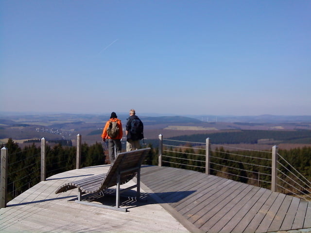
Tour gallery
Tour map and elevation profile
Minimum height 275 m
Maximum height 580 m
More about the tour author
|
|
tom-folke |
Comments

Die Tour startet und endet in der Siegener Oberstadt nahe dem Oberen Schloss.
Richtig los gehts im Agnesenhof in der Winchenbach und in der Dautenbach geht es dann wieder auf Asphalt.
GPS tracks
Trackpoints-
GPX / Garmin Map Source (gpx) download
-
TCX / Garmin Training Center® (tcx) download
-
CRS / Garmin Training Center® (crs) download
-
Google Earth (kml) download
-
G7ToWin (g7t) download
-
TTQV (trk) download
-
Overlay (ovl) download
-
Fugawi (txt) download
-
Kompass (DAV) Track (tk) download
-
Track data sheet (pdf) download
-
Original file of the author (gpx) download
More about the tour author
|
|
tom-folke |
Add to my favorites
Remove from my favorites
Edit tags
Open track
My score
Rate