


Die Tour startet in Bamberg und endet in Lichtenfels, zurück nach Bamberg mit dem Zug, da ich mir die 45km durchs obere Maintal bei Minustemparaturen sparen wollte.
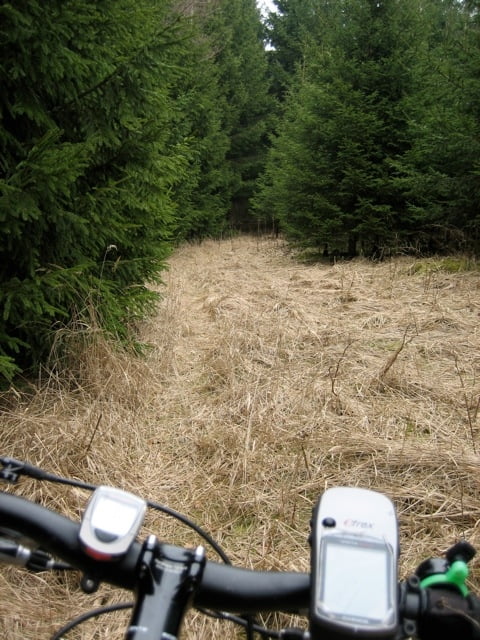
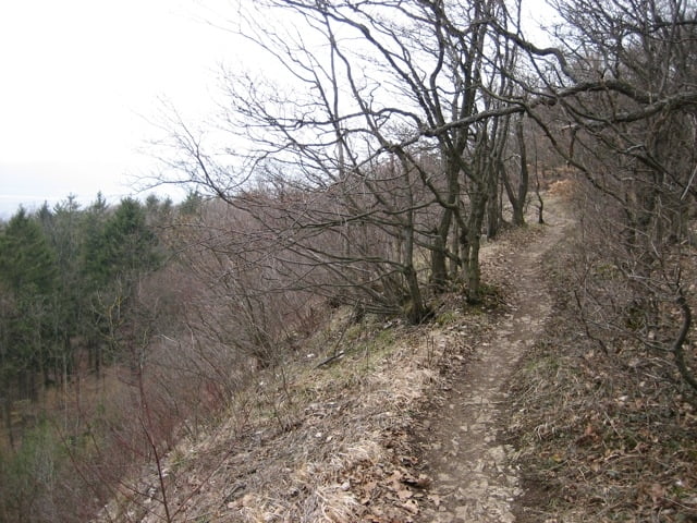
Der erste Anstieg geht bei Schlappenreuth hoch auf den Reiseberg, von da an auf der Höhe zum Eingang des Kleinziegenfelder Tals. Hier entlang der östlichen Talkante auf einem Trail mit steilem Abstieg zur Weihersmühle, wieder noch nach Wallersberg bis nach Weismain. Dort weiter über Giechköttendorf hoch auf den Abschnitt des Frankenwegs, der in der vielen Teilen als Trail zu fahren ist. Das letzte Highlight ist die Trailabfahrt auf dem Frankenweg hinunter nach Lichtenfels.
Tour gallery
Tour map and elevation profile
Minimum height 249 m
Maximum height 558 m
More about the tour author

|
Pitcairn |
Comments

GPS tracks
Trackpoints-
GPX / Garmin Map Source (gpx) download
-
TCX / Garmin Training Center® (tcx) download
-
CRS / Garmin Training Center® (crs) download
-
Google Earth (kml) download
-
G7ToWin (g7t) download
-
TTQV (trk) download
-
Overlay (ovl) download
-
Fugawi (txt) download
-
Kompass (DAV) Track (tk) download
-
Track data sheet (pdf) download
-
Original file of the author (gpx) download
More about the tour author
|
|
Pitcairn |
Add to my favorites
Remove from my favorites
Edit tags
Open track
My score
Rate