


Start ist das ICON an der LP 3.
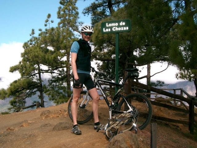
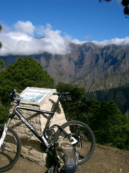
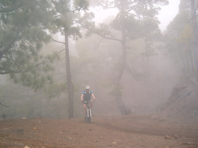
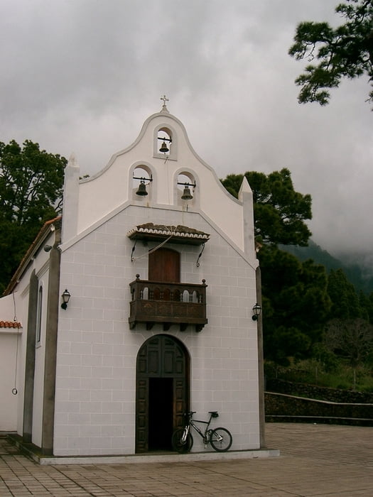
hier geht’s dann erstmal mit dem bike bis zum abzweiger cumbrecita und dann rauf zur cumbrecita. Oben angekommen, geht’s dann noch weiter zum mirador de las chozas. Hier hat man einen traumblick in die caldera de taburiente! Dann geht’s downhill zurück und wir folgen dem weg zu den petroglyphen tamarahoya. Auch hier geht’s danach downhill zurück und zum schluss gabs noch einen kleinen abstecher zur ermita de la virgen del pino! Und dann zurück zum startplatz!
Schöne einrollrunde!
Further information at
http://www.hegibiketours.de/Tour gallery
Tour map and elevation profile
Minimum height 836 m
Maximum height 1324 m
More about the tour author
|
|
hegi |
Comments

Am centro de visitantes del parque nacional kann man bequem starten und sein auto parken!
GPS tracks
Trackpoints-
GPX / Garmin Map Source (gpx) download
-
TCX / Garmin Training Center® (tcx) download
-
CRS / Garmin Training Center® (crs) download
-
Google Earth (kml) download
-
G7ToWin (g7t) download
-
TTQV (trk) download
-
Overlay (ovl) download
-
Fugawi (txt) download
-
Kompass (DAV) Track (tk) download
-
Track data sheet (pdf) download
-
Original file of the author (gpx) download
More about the tour author
|
|
hegi |
Add to my favorites
Remove from my favorites
Edit tags
Open track
My score
Rate