


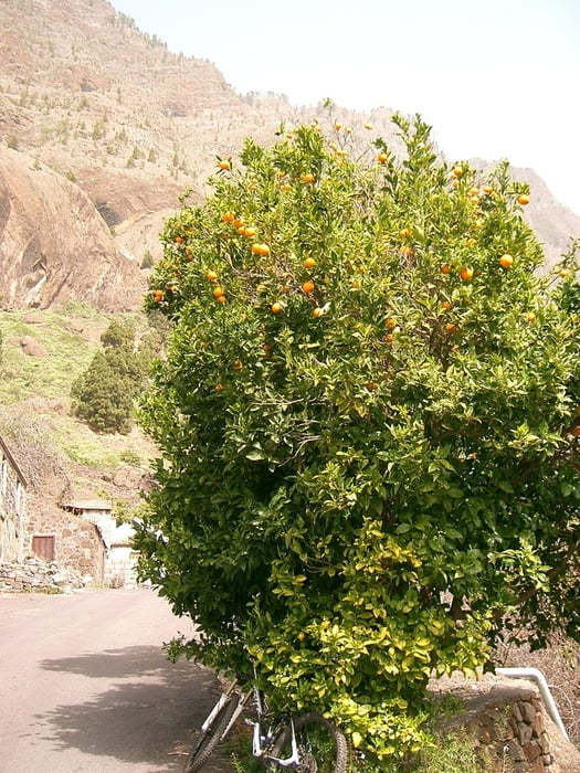
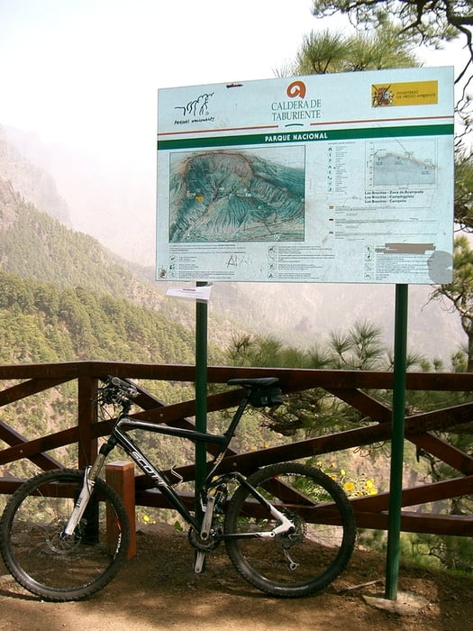
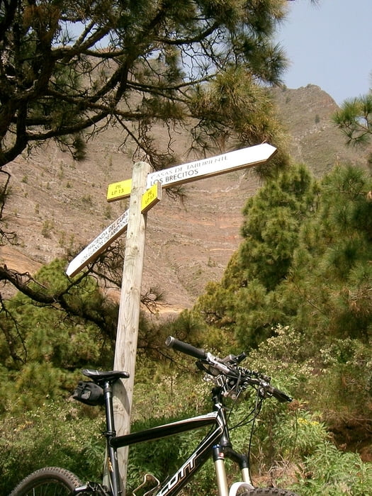
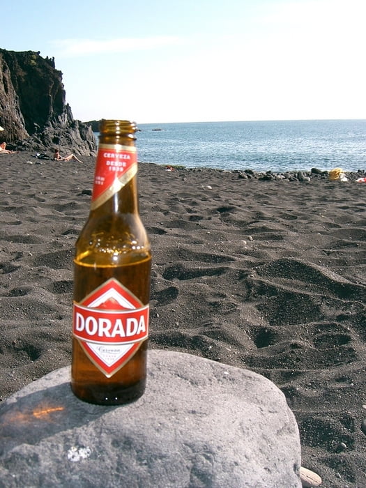
Los geht’s an der plaza espana in los llanos. Dann geht’s uphill mäßig zum lomo de los caballos. Und dann folgt ein schnelles downhill in den barranco de las angustias. Am parkplatz vom shuttle service der wanderer angekommen, geht’s schnell durchs flußbett und dann folgen wir der leider jetzt geteerten straße bis zum mirador de los brecitos. Zwischendurch gibt’s bei der hacienda del cura einen einsamen orangenbaum, der im märz zum ernten einläd :) vom mirador hat man einen herrlichen blick in die caldera de taburiente und zum roque idafe. Danach geht’s den gleichen weg zurück nach los llanos. Von dan weiter über la laguna und todoque bis nach puerto naos und dann gings ab in den atlantik!
Further information at
http://www.hegibiketours.de/Tour gallery
Tour map and elevation profile
Minimum height 32 m
Maximum height 1090 m
More about the tour author
|
|
hegi |
Comments

Am plaza espana kann man bequem in die tour starten!
GPS tracks
Trackpoints-
GPX / Garmin Map Source (gpx) download
-
TCX / Garmin Training Center® (tcx) download
-
CRS / Garmin Training Center® (crs) download
-
Google Earth (kml) download
-
G7ToWin (g7t) download
-
TTQV (trk) download
-
Overlay (ovl) download
-
Fugawi (txt) download
-
Kompass (DAV) Track (tk) download
-
Track data sheet (pdf) download
-
Original file of the author (gpx) download
More about the tour author
|
|
hegi |
Add to my favorites
Remove from my favorites
Edit tags
Open track
My score
Rate