Login

Forgot your login?

Cookies have to be accepted!
Your browser's cookie functionality is disabled. Please enable this functionality.

Not a member yet?

Register now
Login

Available for registred users only

Log in to use this feature.

Forgot your login?

Cookies have to be accepted!
Your browser's cookie functionality is disabled. Please enable this functionality.

Not a member yet?

Register now
Filter
Categories
Advanced filters
  • Distance (km)
  • Height
Save filters Reset filter

TrackRank

QRCode

Technical data

Distance7,3 km Height356 m Way down m Duration00:00 h:m Date05.04.2006
Scores Author Landscape Fun factor Fitness Technique

Statistics

594 Views Scores 80 Downloads Average
Rate
  • Track data sheet
  • Directions
  • Downloads
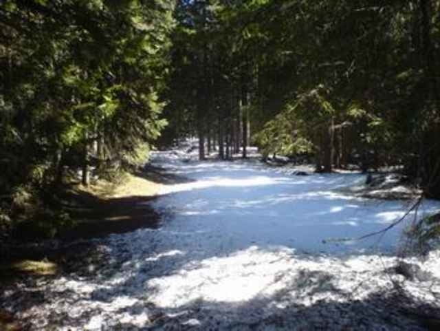
Von Tiefental in den Wald immer den Weg entlang.
gute Sicht aufs Inntal
Mehrere Abzwiege die zum Möserer Steig führen

Tour gallery

Tour map and elevation profile

  • Open Street Map
  • Google
Minimum height 673 m Maximum height 1161 m Detailed view

More about the tour author

tomi
Member since 2005

Send private message

Comments

Hatting über den Inn in Die Siedlung Tiefental bis zu einer Strassenkreuzung an der ca 3 Parkplätze sind. Ein kl Bach mündet hier ein.

GPS tracks

Trackpoints
  • GPX / Garmin Map Source (gpx) download
  • TCX / Garmin Training Center® (tcx) download
  • CRS / Garmin Training Center® (crs) download
  • Google Earth (kml) download
  • G7ToWin (g7t) download
  • TTQV (trk) download
  • Overlay (ovl) download
  • Fugawi (txt) download
  • Kompass (DAV) Track (tk) download
  • Track data sheet (pdf) download
  • Original file of the author (gpx) download

More about the tour author

tomi
Member since 2005

Send private message
Share track
Add to my favorites
Remove from my favorites
Edit tags
My score
Rate
Track: Hochleitenkopf
Type: Mountain bike
Distance: 7,3 km
Evaluated on:
Duration:
Day(s)
Hour(s)
Minute(s)
Score: Landscape Fun factor Fitness Technique