
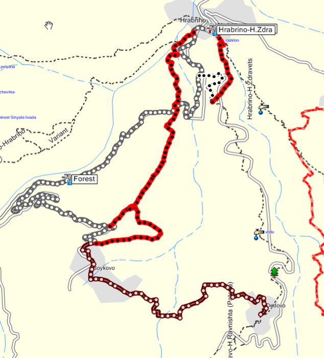

Всичко тоя път се върти около 2 пътеки над с. Храбрино. (с червено на трака)
Карането е относително кратко. Височина се набира по асфалта. Самите пътеки обаче са особенно забавни :-)
За съжаление според случая може да се окаже че са понападали доста дървета (както е в момента). Но се надявам да ги разчистваме от време на време.
have fun !
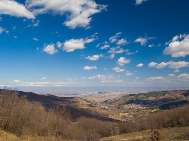
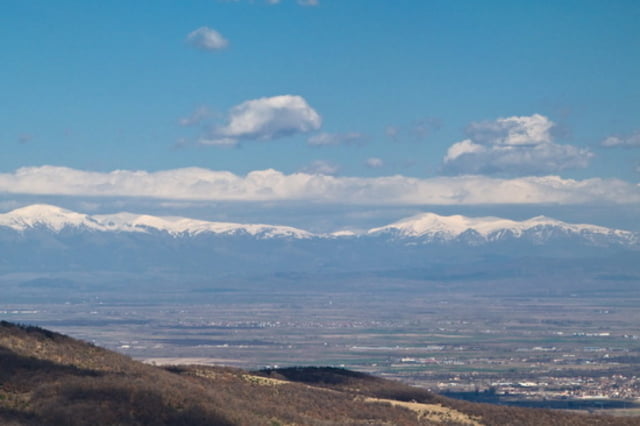
Tour gallery
Tour map and elevation profile
Minimum height 324 m
Maximum height 1180 m
More about the tour author
|
|
outfaced |
Comments

До Бойково може да се стигне по два начина ...
или от Храбрино директно по асфалта или до Дедево по асфалта и от там има приятен коларски път до Бойково.
За самия старт на спускането също има два варианта.
Втората пътека е една кратка, но не по-малко забавна в близост до Храбрино. За нея се отбива на едно място от пътя за Дедево.
GPS tracks
Trackpoints-
GPX / Garmin Map Source (gpx) download
-
TCX / Garmin Training Center® (tcx) download
-
CRS / Garmin Training Center® (crs) download
-
Google Earth (kml) download
-
G7ToWin (g7t) download
-
TTQV (trk) download
-
Overlay (ovl) download
-
Fugawi (txt) download
-
Kompass (DAV) Track (tk) download
-
Track data sheet (pdf) download
-
Original file of the author (gpx) download
More about the tour author
|
|
outfaced |
Add to my favorites
Remove from my favorites
Edit tags
Open track
My score
Rate